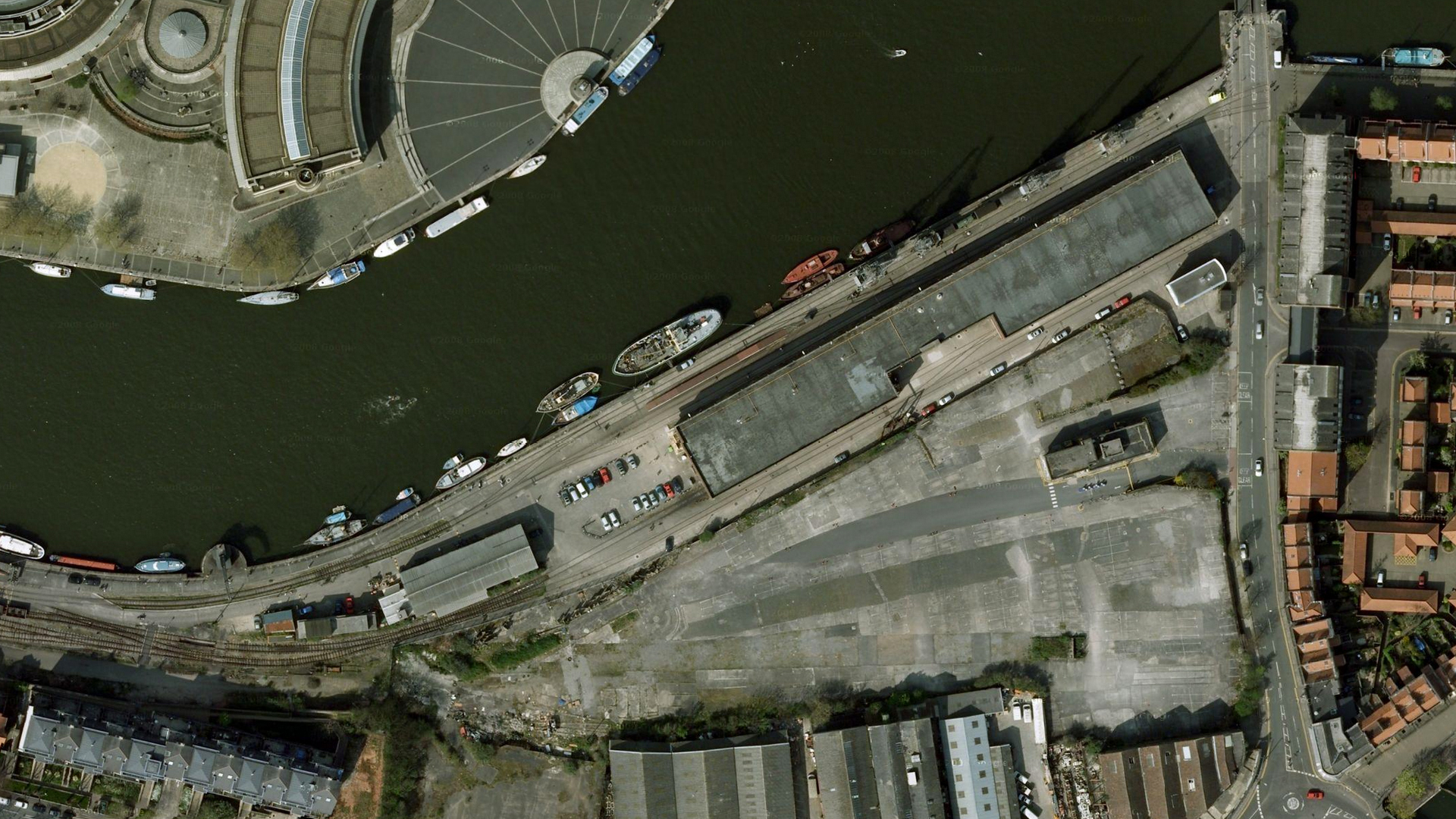
Google maps’ view of the area around M Shed is now outdated, but does give an interesting insight into how the landscape around the railway has and continues to evolve. I cobbled together a few images to give a bigger picture.
You can see how M and L shed were formerly much more separate, with rail access to the workshops in L shed behind.
Also visible are the old reclamation yards to the South, now a building site for Umberslade’s housing project.
The end of the loop where the temporary ‘barn’ was constructed is to the West side of the picture.