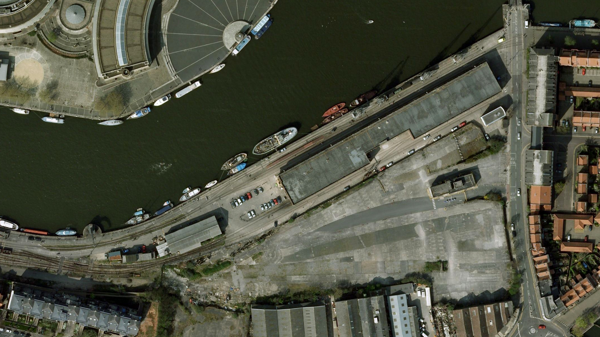
M Shed pre-rebuild, an aerial view

Google maps’ view of the area around M Shed is now outdated, but does give an interesting insight into how the landscape around the railway has and continues to evolve. I cobbled together a few images to give a bigger picture.
You can see how M and L shed were formerly much more separate, with rail access to the workshops in L shed behind.
Also visible are the old reclamation yards to the South, now a building site for Umberslade’s housing project.
The end of the loop where the temporary ‘barn’ was constructed is to the West side of the picture.
m-shed-pre-2008

Tracing the ‘old’ BHR – East

Here’s a little post on some of the remaining items of the old BHR, which ran from Ashton Junction all the way through to Bristol Temple Meads.

Eerie fog in the morning at Wapping Wharf Car Park (Formerly the coal depot)

Steam crane just visible through the mist

Bristol Temple Meads – The old grosvenor hotel on the left, the goods only line to the docks passed over the road, on top of the building in the centre. This line was last used in 1962.

And the other side, BTM is behind the camera

The old station, still very imposing!

Back at the docks…

The Eastern extent of the BHR