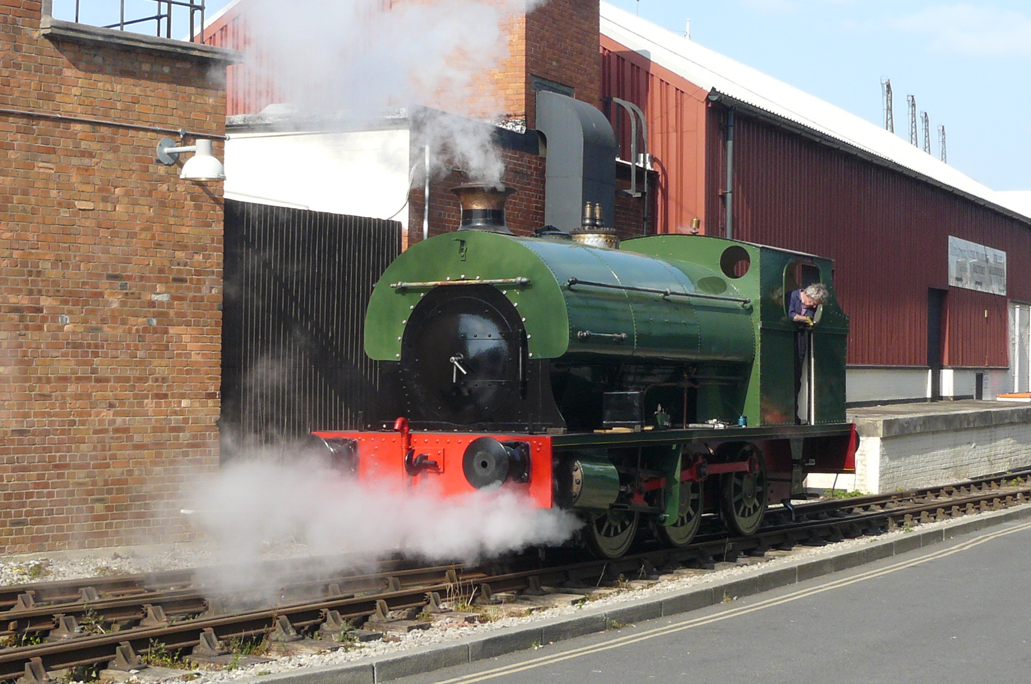
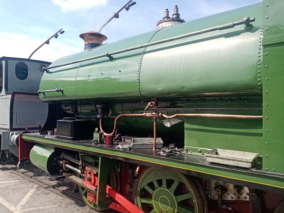
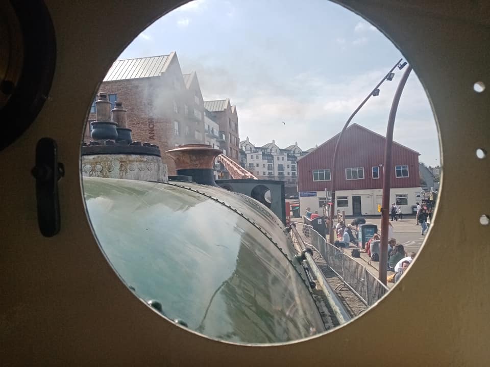
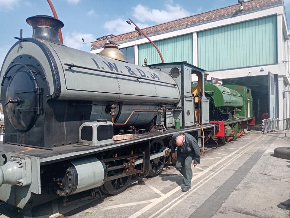
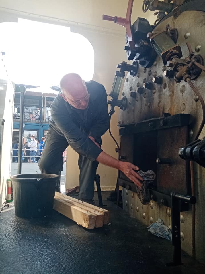
On Wednesday 21st April, Henbury moved under its own steam for the first time since 2014. Bob drove it off shed and on a short test run, all seems well so far.
Thanks to Bruce Davies for these photos.

On Wednesday 21st April, Henbury moved under its own steam for the first time since 2014. Bob drove it off shed and on a short test run, all seems well so far.
Thanks to Bruce Davies for these photos.
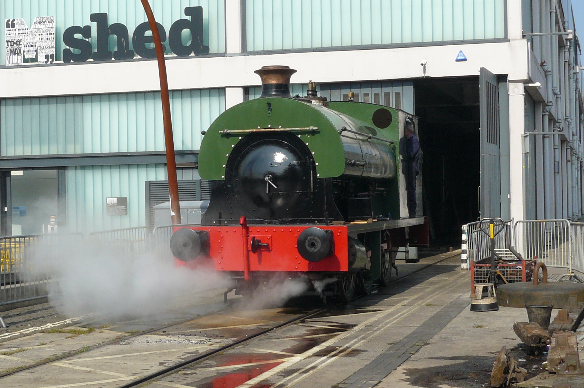
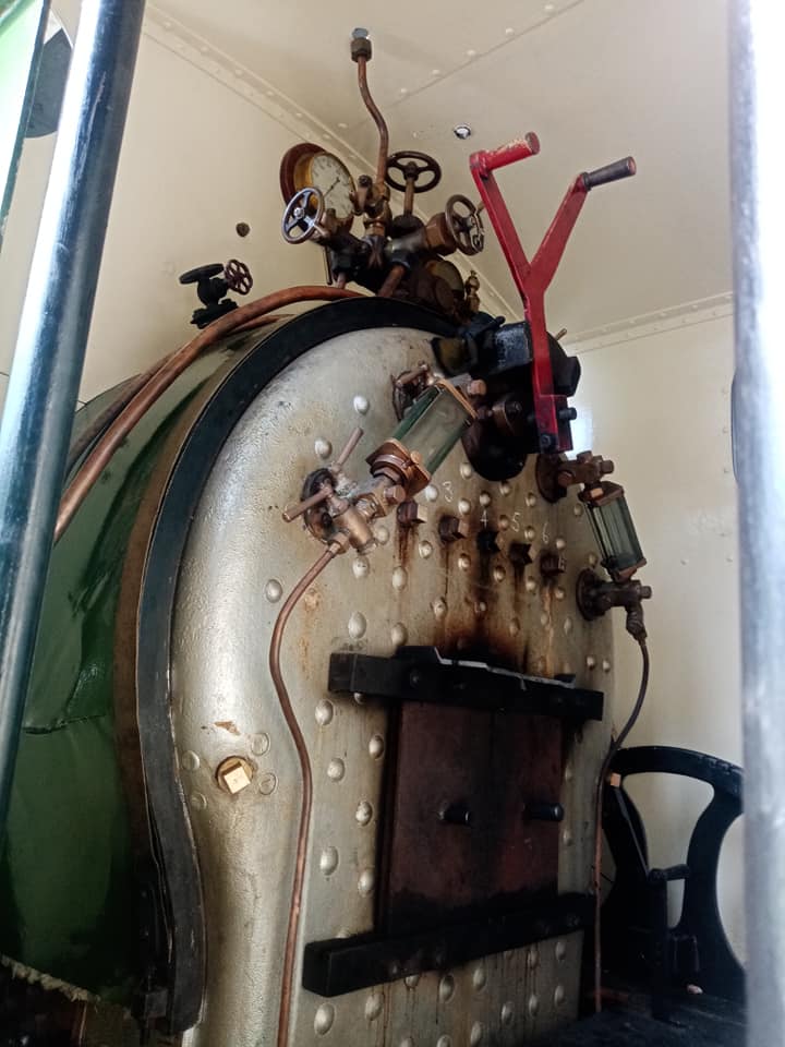
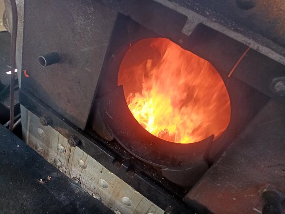
Work on Henbury progresses as Coronavirus restrictions are relaxed. The majority of the loco has been reassembled and today it was pulled out of the shed to have a warming fire lit. Over the next few days the loco will steadily be brought up to pressure and every joint checked.
Thanks to Rob Skuse for the photos and information.
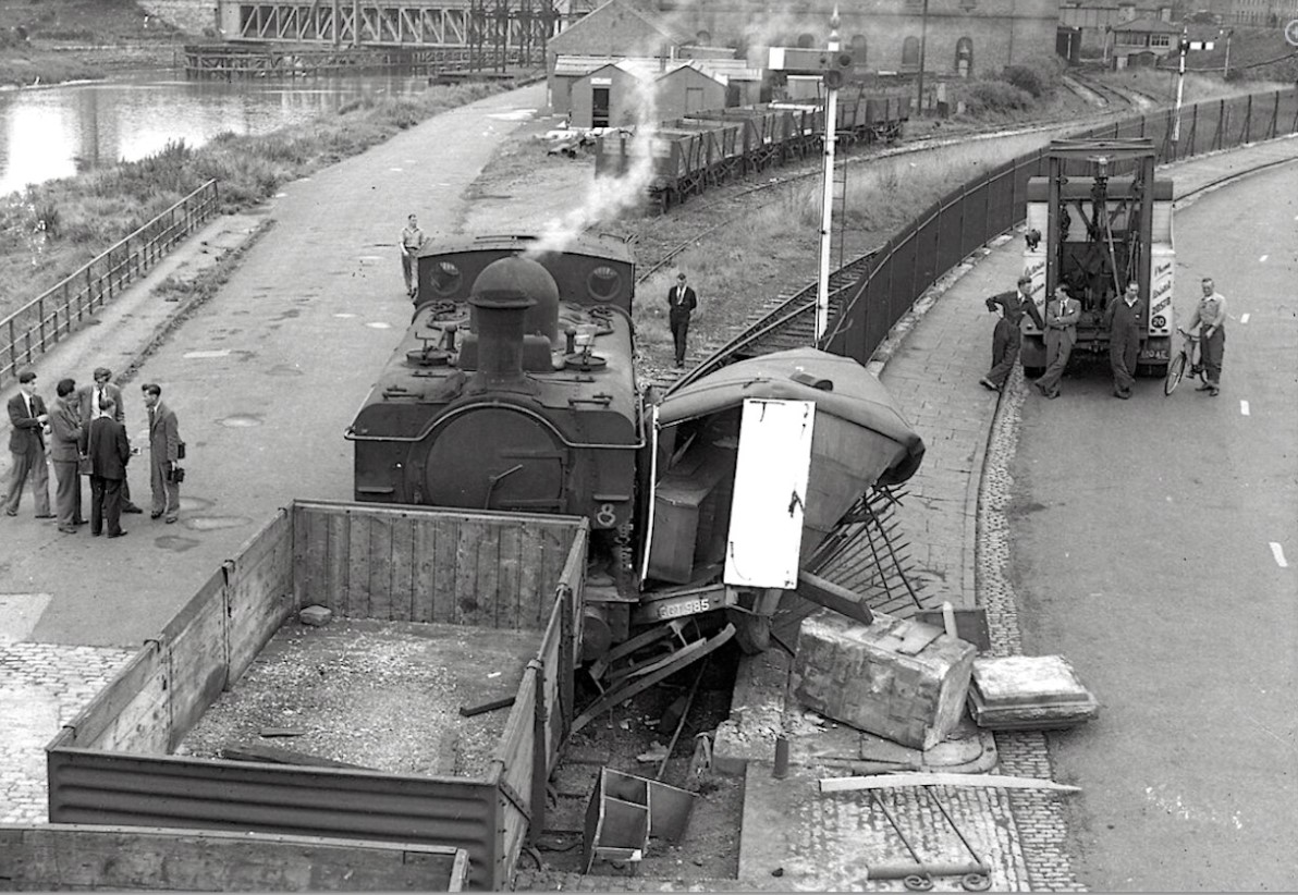
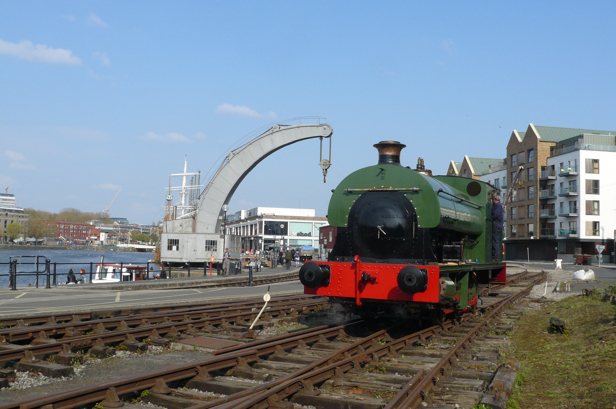
Following on from last week’s post about Ashton Avenue Bridge, it features in the background of this photo (with thanks to Jonathan and Bob Edwardes for sending the photo).
Details are scant but a pannier tank has clearly come to grief after striking a truck (looks like it may be an ex-military workshop truck) on the old level crossing at the end of Cumberland Road.
Judging by the recovery truck the scene looks to be 1950s although the loco is likely still in GWR livery (no smokebox numberplate).
Also of interest are the layout of sidings in the background. The proposed new station layout is quite close to this setup. The old signal box is still extant, guarding the junction to Canon’s Marsh.
If you have any information about this scene please do let us know!

This photograph was published on Geograph.co.uk by Martin Tester and is shared here under a Creative Commons Licence.
It is dated around 1966-1967 and shows the upper deck of Ashton Avenue Bridge in the process of being dismantled. At this time the lines across the bridge were still double track, the West line was not removed until some time later.
“At one time this bridge over the New Cut was a really extraordinary structure – it had 2 decks, road above rail, & swung, using power supplied from the City Docks hydraulic system. The control cabin was on an elevated structure spanning the roadway. Built by Bristol Corporation & opened in 1906 it allowed the GWR’s line to Wapping Wharf (from Temple Meads) to be extended to serve more wharves, a new goods shed at Canon’s Marsh, & to connect with the Portishead Branch. A swing bridge was needed because the New Cut was used by river traffic to access Bathurst Basin. It was last swung in 1934 & formally fixed in 1951. The roadway & control cabin were removed in 1965-66 as part of major road changes around Cumberland Basin.”
This photo (source unknown) shows the bridge when both decks were in use. Note the tracks crossing left to right to access to other sidings next to A Bond, where the Create Centre car park now is. The diverging line at the bottom of the photo is the one to Canon’s Marsh.

