Winter Progress, or ‘Where’s the Point?’

Down at Butterfly Junction on a windy January day, the simplification of the track layout has seen the point to Ashton Swing Bridge removed…

IMG_2769

IMG_2770

IMG_2771

IMG_2773

Meanwhile, round the bend, the pointwork salvaged from defunct lines is being relaid at the end of Cumberland Road.
The self-propelled crane was in the process of bringing rail down from the junction….

IMG_2777

IMG_2778

… allowing the track layout to take shape before rain stopped play for the day. The area in the foreground is planned to become the entrance to the rebuilt ‘barn’ building.

IMG_2781

Bristol Metrobus – Revised Plans

The Government has approved Bristol’s rapid transit Metrobus scheme, as reported by the BBC here:
http://www.bbc.co.uk/news/uk-england-bristol-24835593

Previously, the plans called for the railway line along the New Cut to be rebuilt into a combined busway and railway. This route has now been amended so that buses will use Cumberland Road, and will not run along the harbourside.
The current plans envisage a remodelling of the railway near the Create Centre to accommodate the busway as it crosses a rebuilt Ashton Avenue Bridge. The plans have the busway utilise the current railway alignment in order to join Cumberland Road on the level, with the railway being re-aligned.

Details of the plans (Including the amended route) are available on the Metrobus website:
http://www.travelwest.info/node/526

Here is a plan of the proposed works. Please note that the revised route for the BHR is not shown, as it is yet to be decided.

A-Bond-Metrobus-Plan-Nov2013

Yard remodelling and site clearance

The Barn has now been dismantled and stored on wagons in the yard, allowing the headshunt to be reconnected to the shed road once more.

IMG_1659

IMG_1660

IMG_1662

Down at A Bond, site clearance has taken place with a view to the proposed remodelling.

IMG_1666

IMG_1667

IMG_1673

The war between the pro and anti bus route campaigners has spilled onto the paths.

IMG_1679

IMG_1677

Finally, a giant lottery ball hit L shed.

IMG_1685

Dismantling ‘The Barn’

A lot can change in a week! There is a hole in the sky as ‘The Barn’ is dismantled. In the current redevelopment plans, the siding on the right will be reconnected to the shed road on the left, forming a loop into the yard again. The stone setts on the right (under the telehandler) are to be replaced with an access road, which will cross both lines roughly where I am standing to take the picture. This will take traffic away from the current choke point around the front of the Olive Shed.

IMG_1651

IMG_1653

M Shed pre-rebuild, an aerial view

Google maps’ view of the area around M Shed is now outdated, but does give an interesting insight into how the landscape around the railway has and continues to evolve. I cobbled together a few images to give a bigger picture.
You can see how M and L shed were formerly much more separate, with rail access to the workshops in L shed behind.
Also visible are the old reclamation yards to the South, now a building site for Umberslade’s housing project.
The end of the loop where the temporary ‘barn’ was constructed is to the West side of the picture.

m-shed-pre-2008

June 2013 update

2012 saw the double track section from the main yard to SS Great Britain Halt singled. The dock-side line has not been used for years (part of it is used for residents parking and it runs very close to Brunel’s Buttery).
In order to make the road safer for cyclists, the rails on the disused line have been infilled and the set of points at the halt have been removed for re-use elsewhere.

The new layout at SS GB Halt


A closer look at the end of the disused line


Running line on the right, cycle-friendly route on the left

Outside M Shed, this sign arrangement provides visitors with information on their surroundings. The placement has meant the track directly outside the museum is now largely out of use

Tragically, in March this year a cyclist lost control and fell into the harbour, 2 bystanders jumped in to help but he died at the scene. The man was a well known charity fundraiser, and was without his personal trainer on a route he was not familiar with, early in the morning.
This is a very unfortunate occurrence and deeply saddening. Temporary fences have been installed along the quayside outside M Shed while the debate on building permanent barriers is reviewed.
Link to news story:
http://www.bbc.co.uk/news/uk-england-bristol-21682878

2012-2013 Updates

Found the phone cable and uploaded a few pics from the last six months or so.

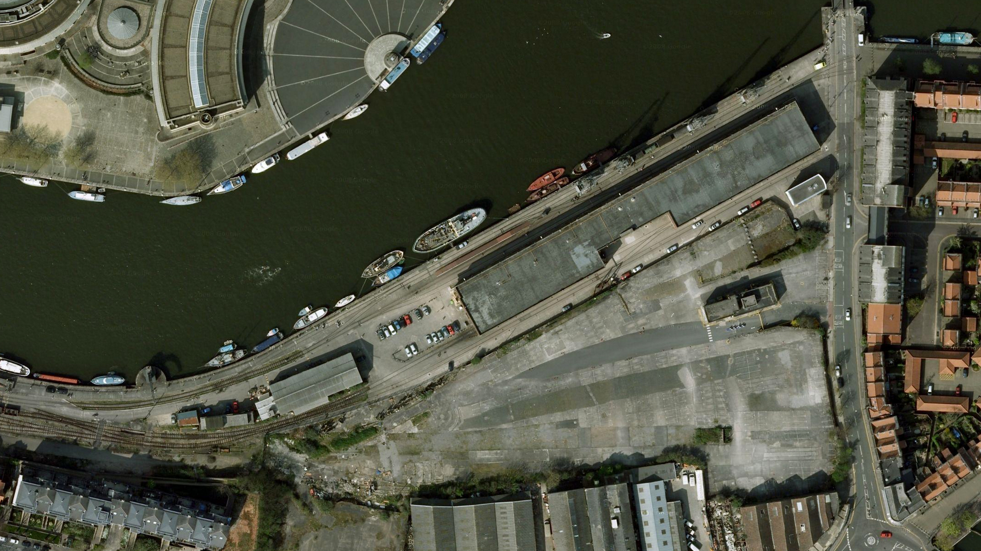
The olive shed building has been re-roofed, which has resulted in the little goods platform around the back losing its roof (This used to be a sleeping spots for some of Bristol’s homeless population, I doubt they’ll want to rest here with no cover)

Before

DSC00159_zps7f8e6c4b

After

DSC00270_zpsdfb563a9

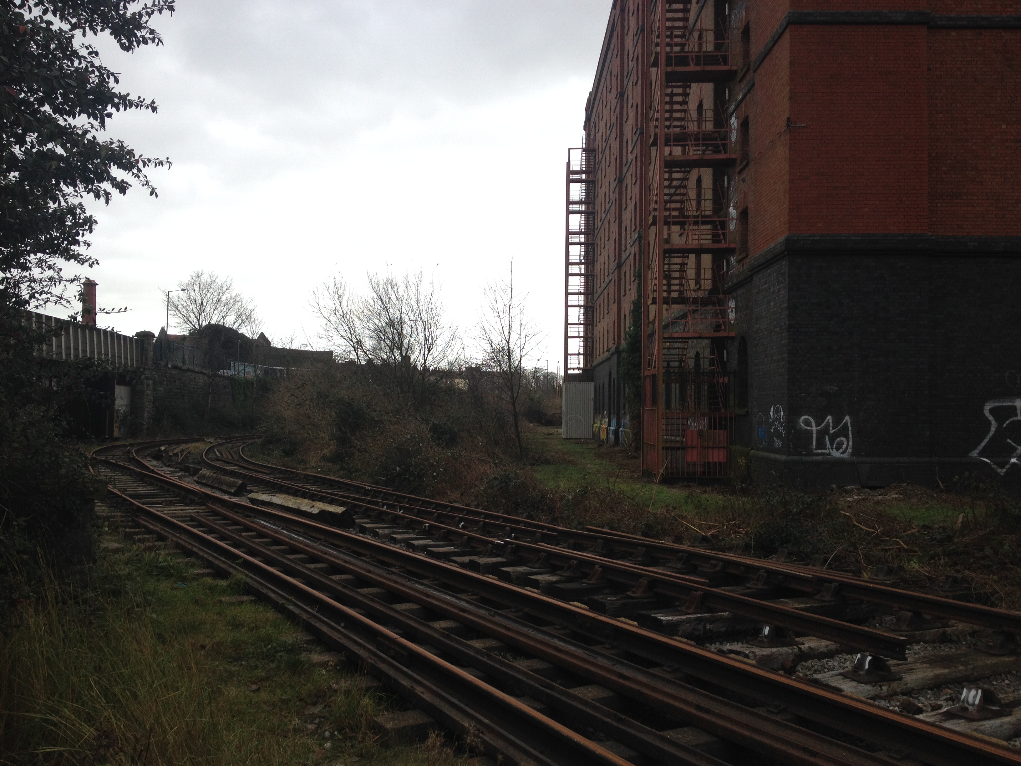
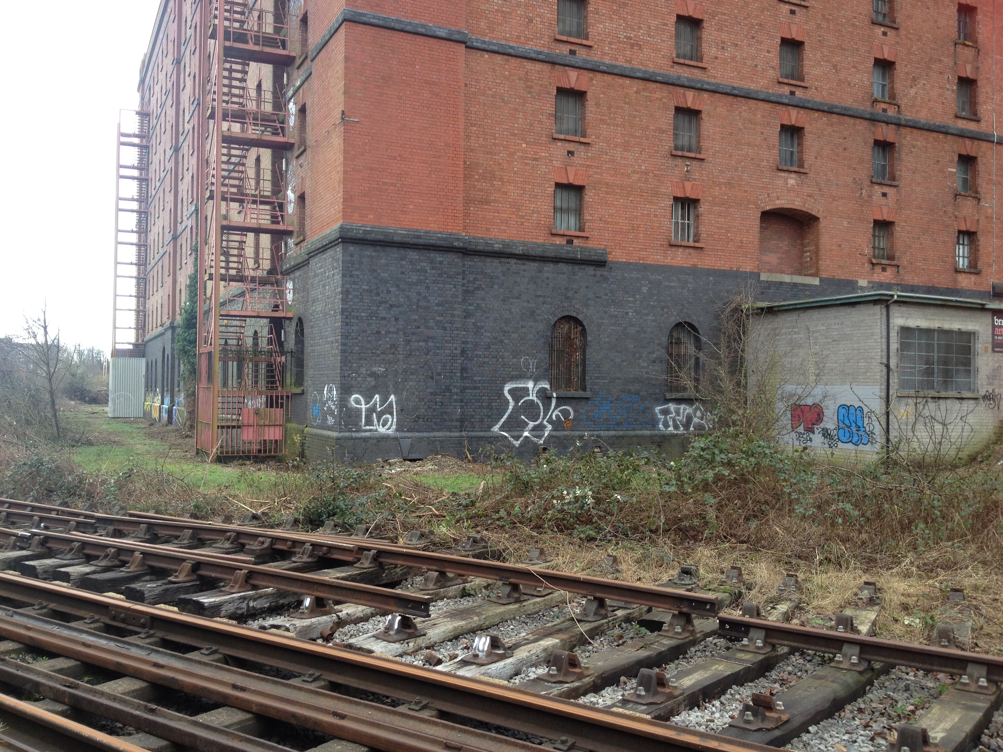
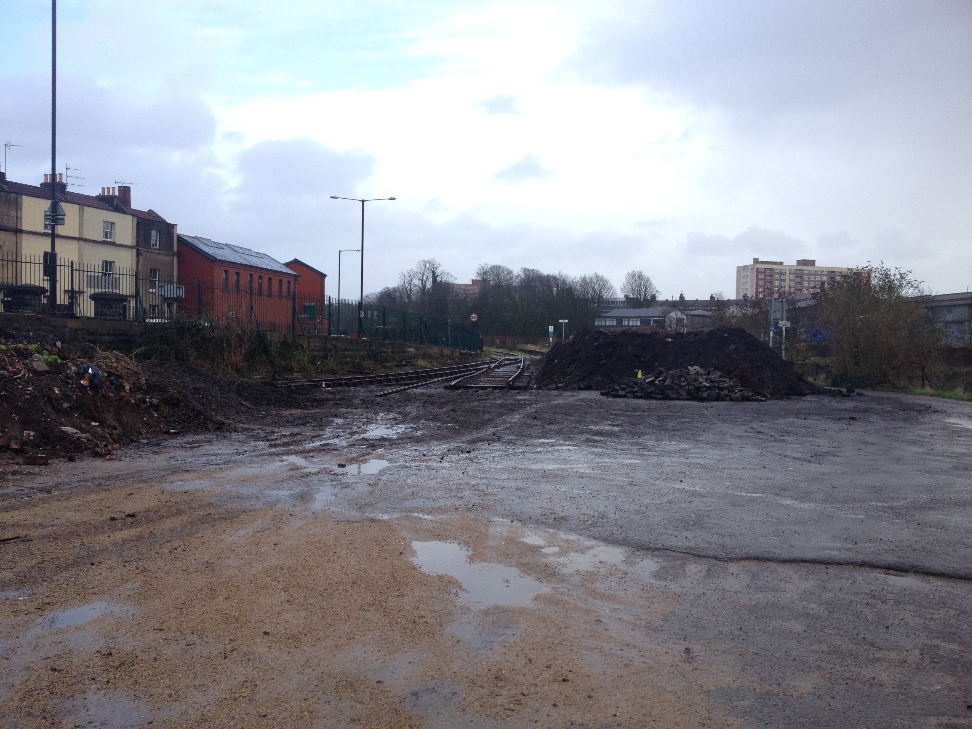
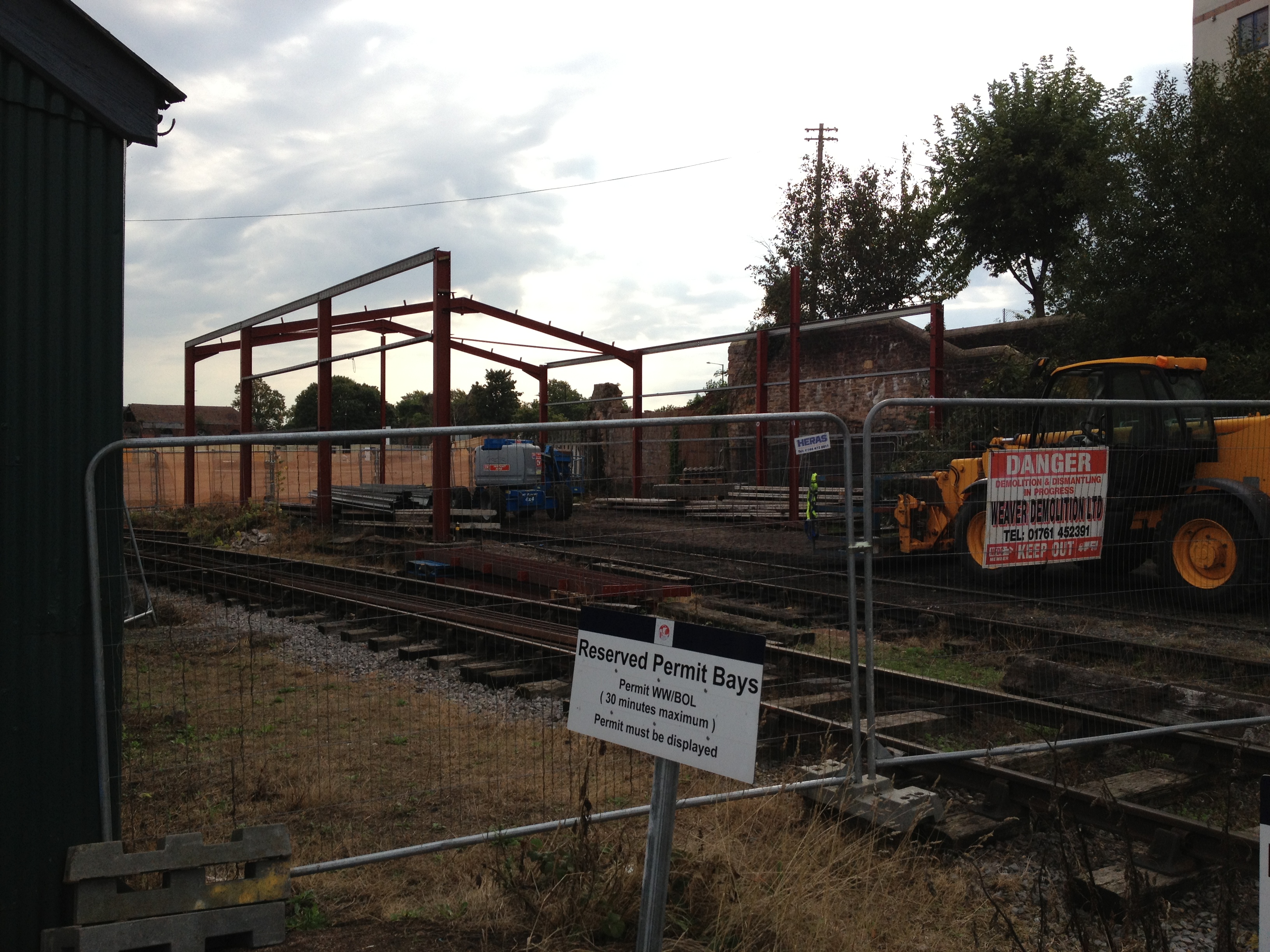
A large part of the pay and display car park has been dug up as part of an archaeological survey, and the disused warehouse at the back of the old Western Fuel Depot has had a roof cave-in (It was sagging a lot for as long as I can remember)

DSC00249_zps57e16f32

DSC00269_zpsa52c67cf

DSC00274_zpsf6ab955e

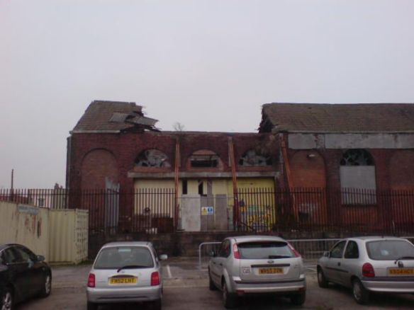
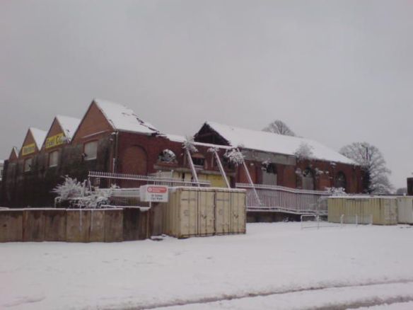
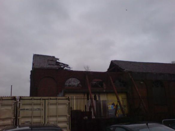
This may well lead to the building’s demolition sooner than expected, who knows?

As discussed here:

http://railways.national-preservation.com/heritage-railways-centres-uk/11128-west-somerset-railway-developments-32.html

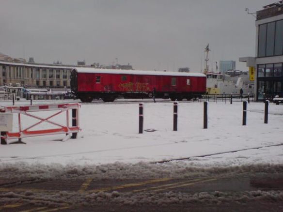
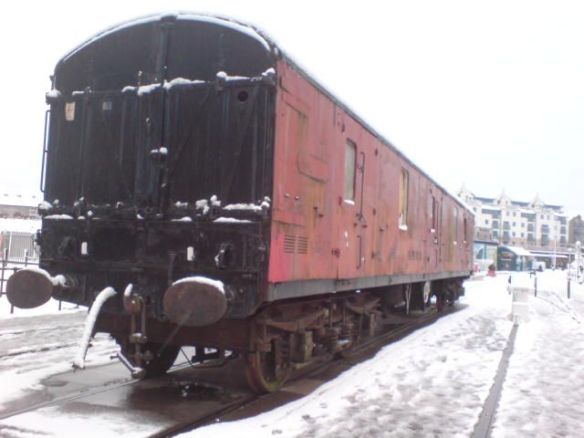
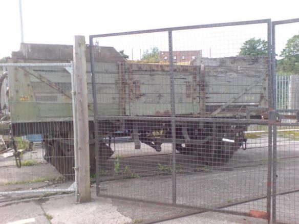
The GUV that stood at the SS Great Britain Halt has been sold to the WSR to be dismantled and used as spares and storage.

It was dragged out on to the quay for its last few weeks in Bristol

DSC00271_zps70f0df90

DSC00272_zpsbe09653b (1)

A few assorted pics from 2012

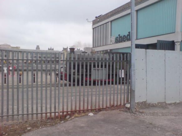
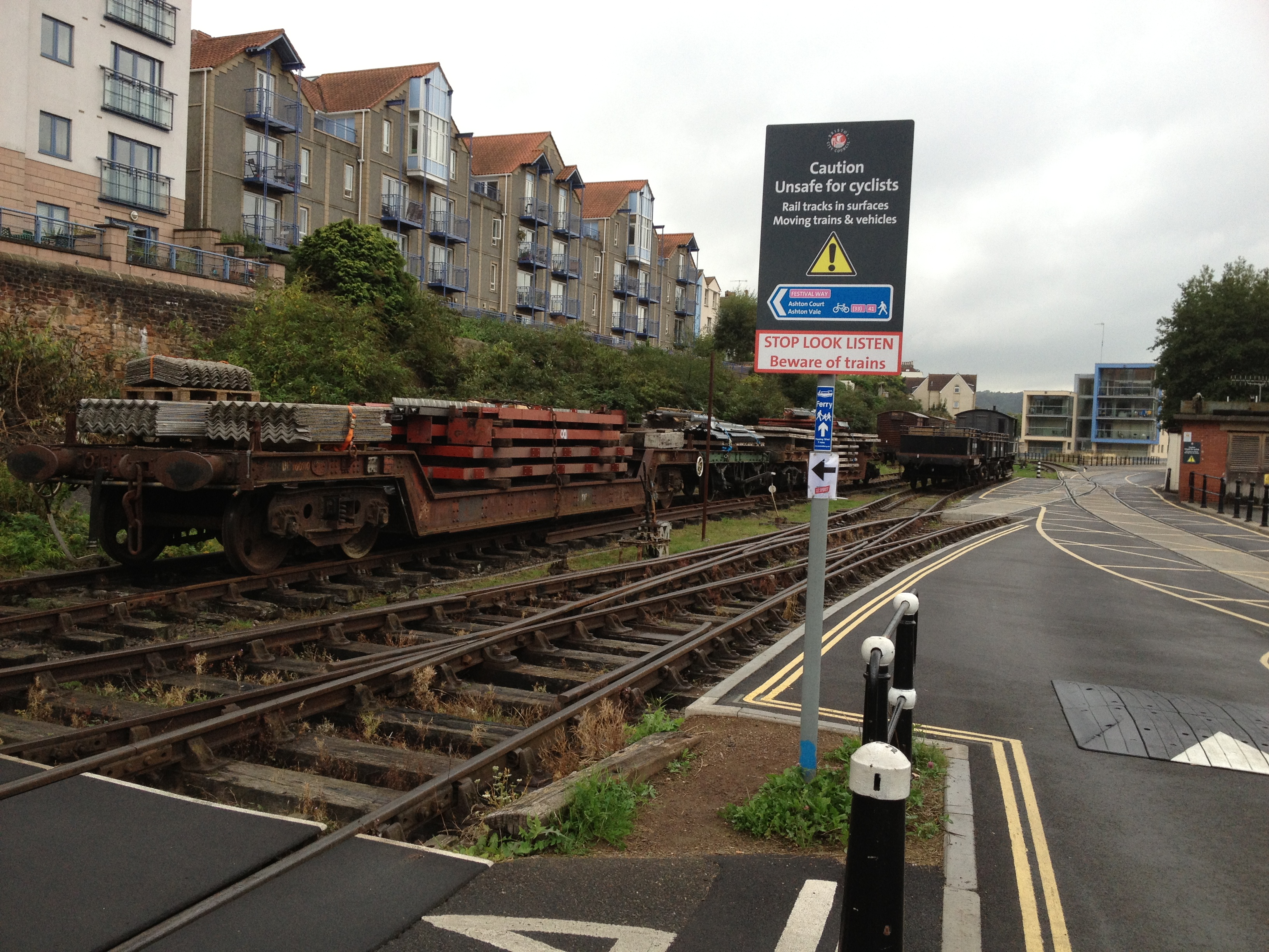
The line that the coal wagon is standing on has now had bollards welded to the rails to act as a pedestrian walkway (The loop line around the back of M Shed is now useless, as M Shed’s foyer has taken the place of the back doors and crossover track into the shed).

DSC00160_zps699331d8 (1)

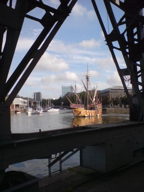
The Matthew giving tours in the harbour

DSC00189_zps5c5b1229

DSC00190_zps942c6920 (1)

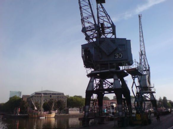
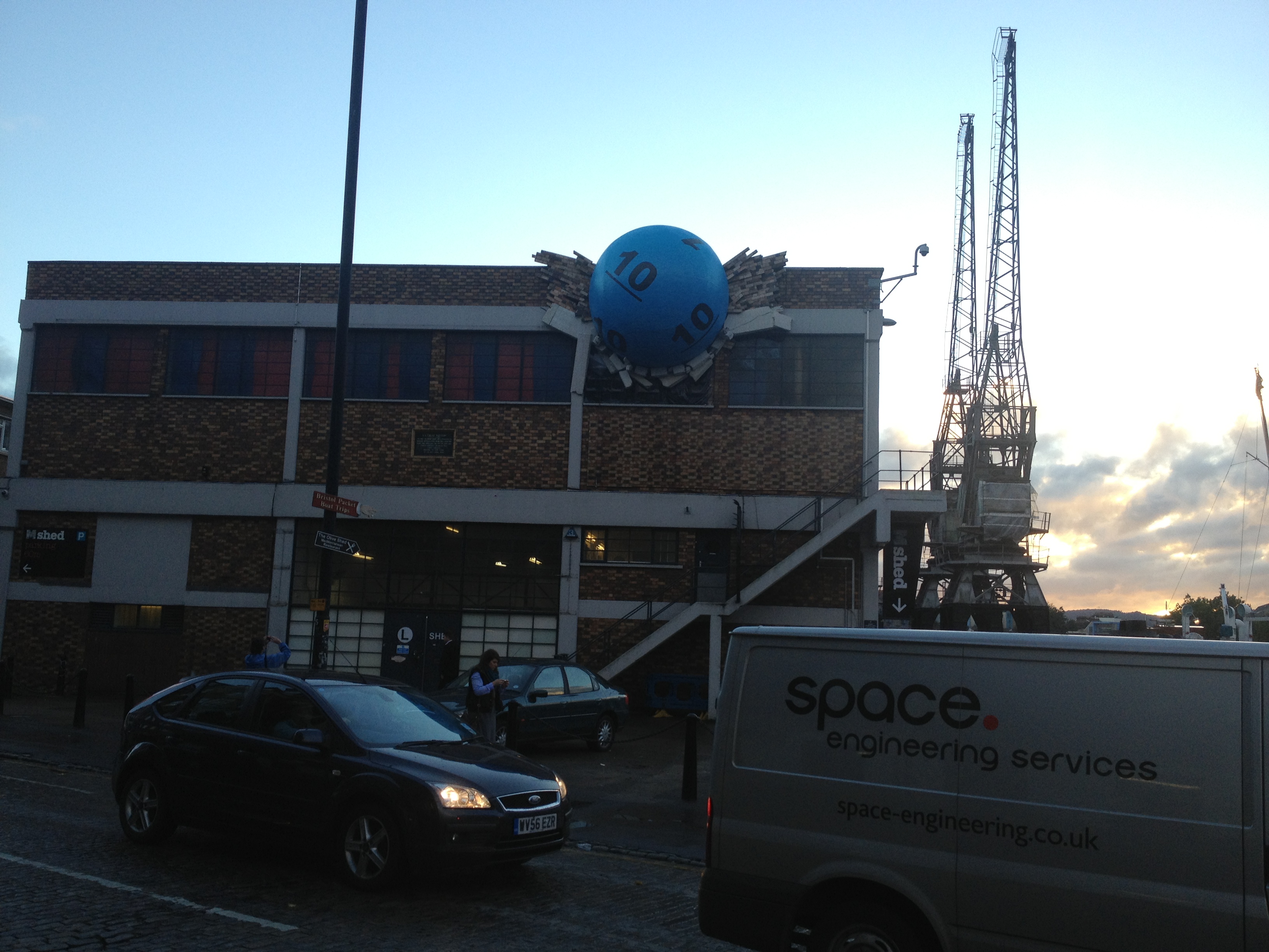
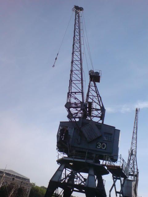
Crane 30 striking an impressive pose

DSC00191_zps1a528c28 (1)

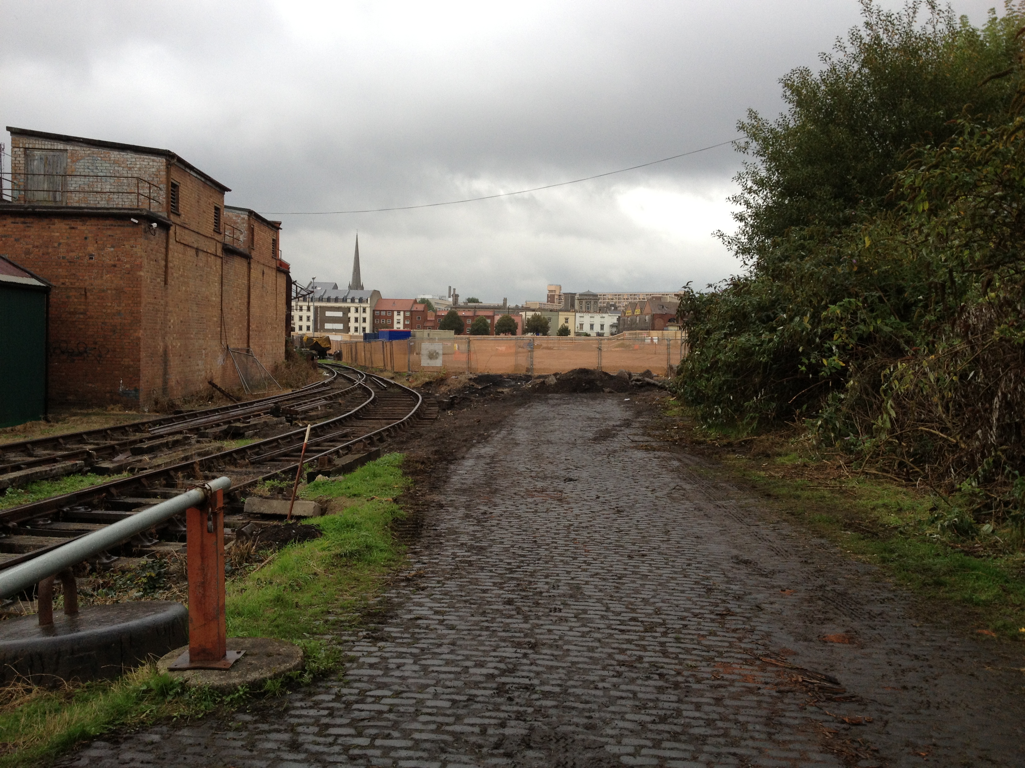
Henbury on-shed back in June. The area of car park where I am standing in this photo has now been completely excavated.

DSC00140_zpsd11c721e (1)

Tracing the ‘old’ BHR – East

Here’s a little post on some of the remaining items of the old BHR, which ran from Ashton Junction all the way through to Bristol Temple Meads.

Eerie fog in the morning at Wapping Wharf Car Park (Formerly the coal depot)

Steam crane just visible through the mist

Bristol Temple Meads – The old grosvenor hotel on the left, the goods only line to the docks passed over the road, on top of the building in the centre. This line was last used in 1962.

And the other side, BTM is behind the camera

The old station, still very imposing!

Back at the docks…

The Eastern extent of the BHR