The staff and volunteers have removed the point from the shed road, formerly used as the coal wagon siding. This has now been relayed with plain rail. The access road’s new formation will go straight on here and round the back of the olive shed.
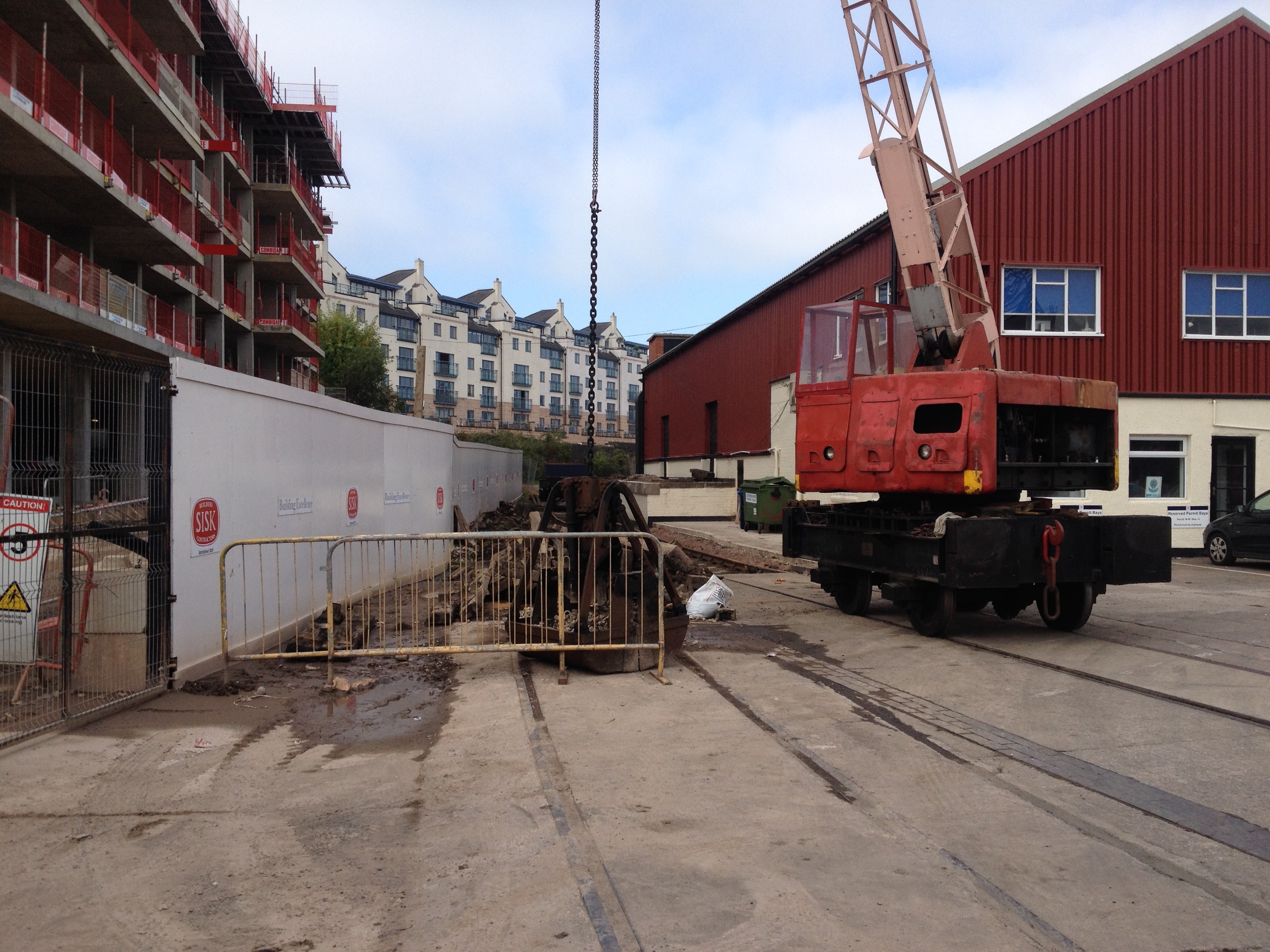
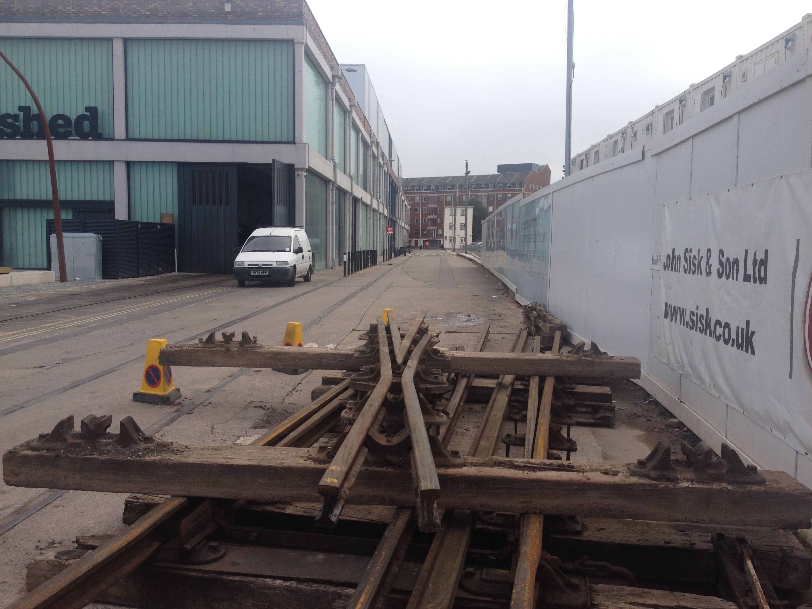
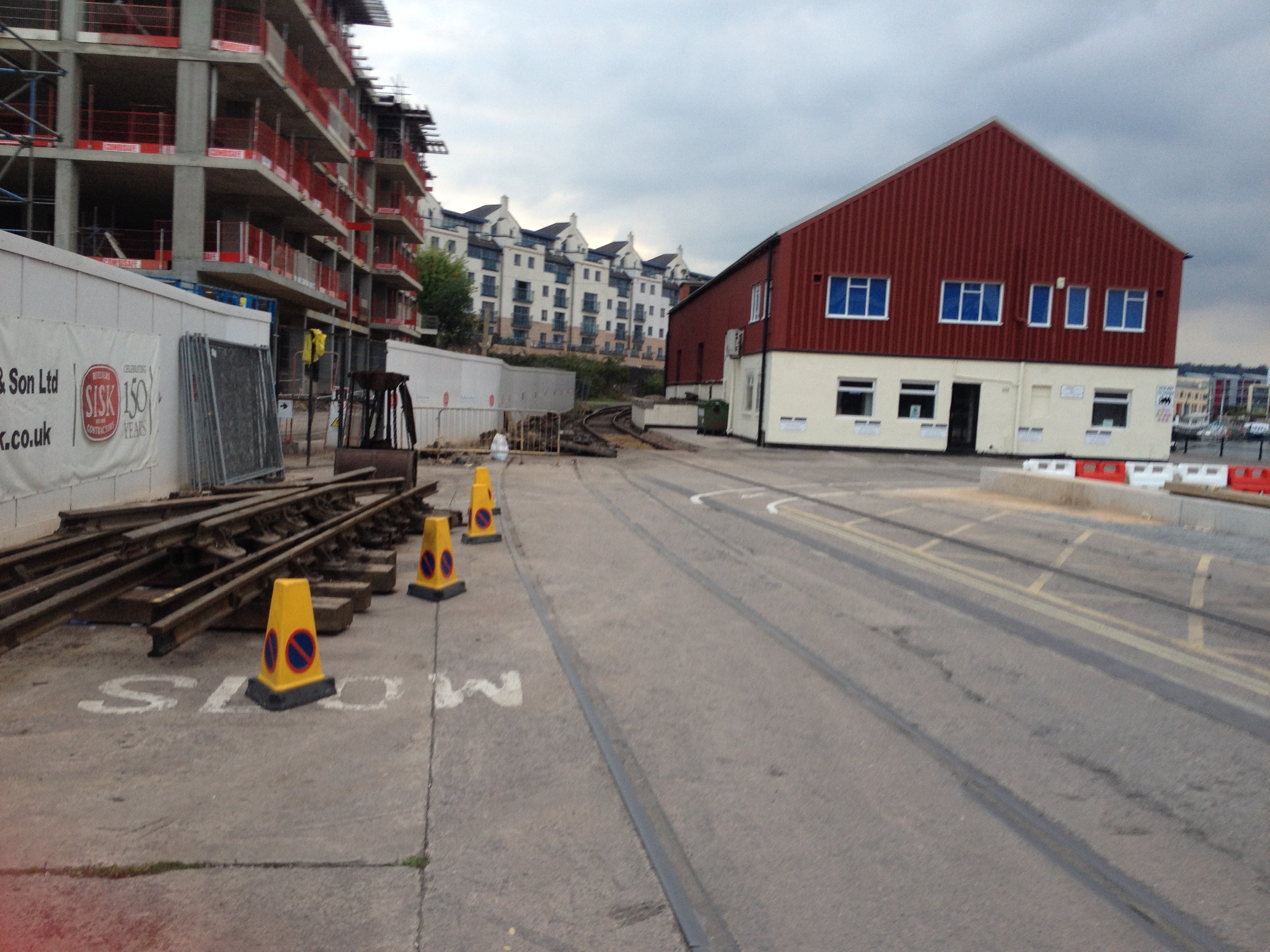
The staff and volunteers have removed the point from the shed road, formerly used as the coal wagon siding. This has now been relayed with plain rail. The access road’s new formation will go straight on here and round the back of the olive shed.
As the housing at Sugar Quay is going up…
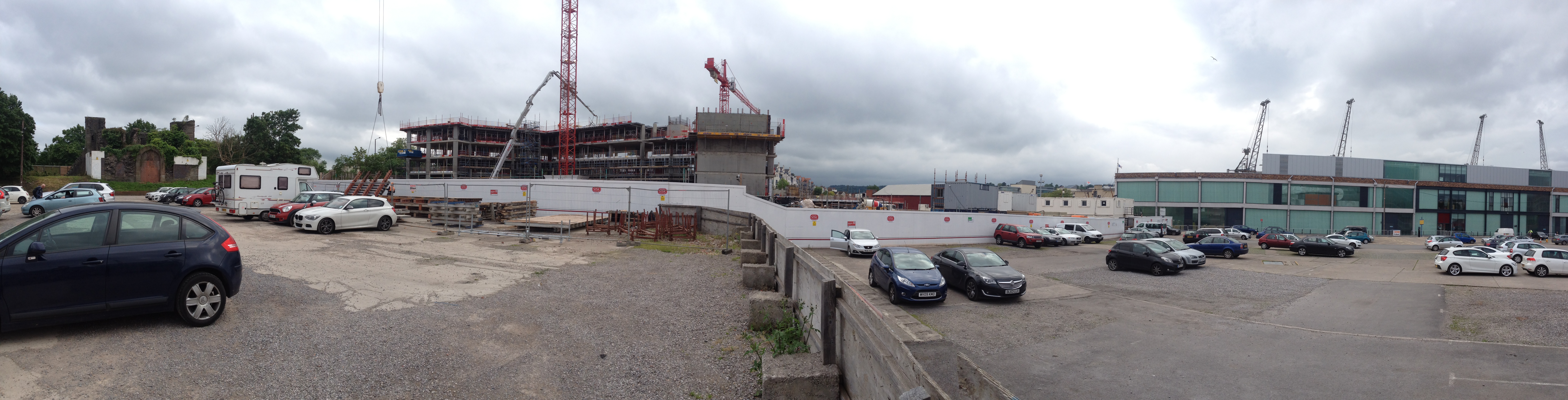
… Other buildings are coming down. The former coal office (Latterly the office for the car park managers) has been demolished, along with the partially-collapsed roof of the building on the right.
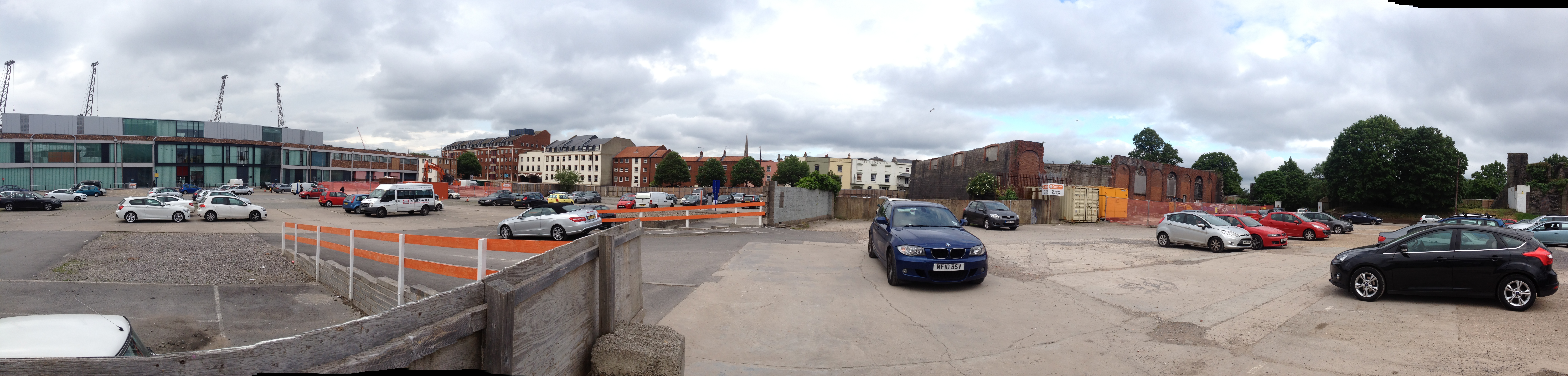
See this photo from February 2013 for a comparison

Over on the shed road, the old goods platform has been renovated and the entire wall treated to new paint. The remnants of the platform roof have been removed.
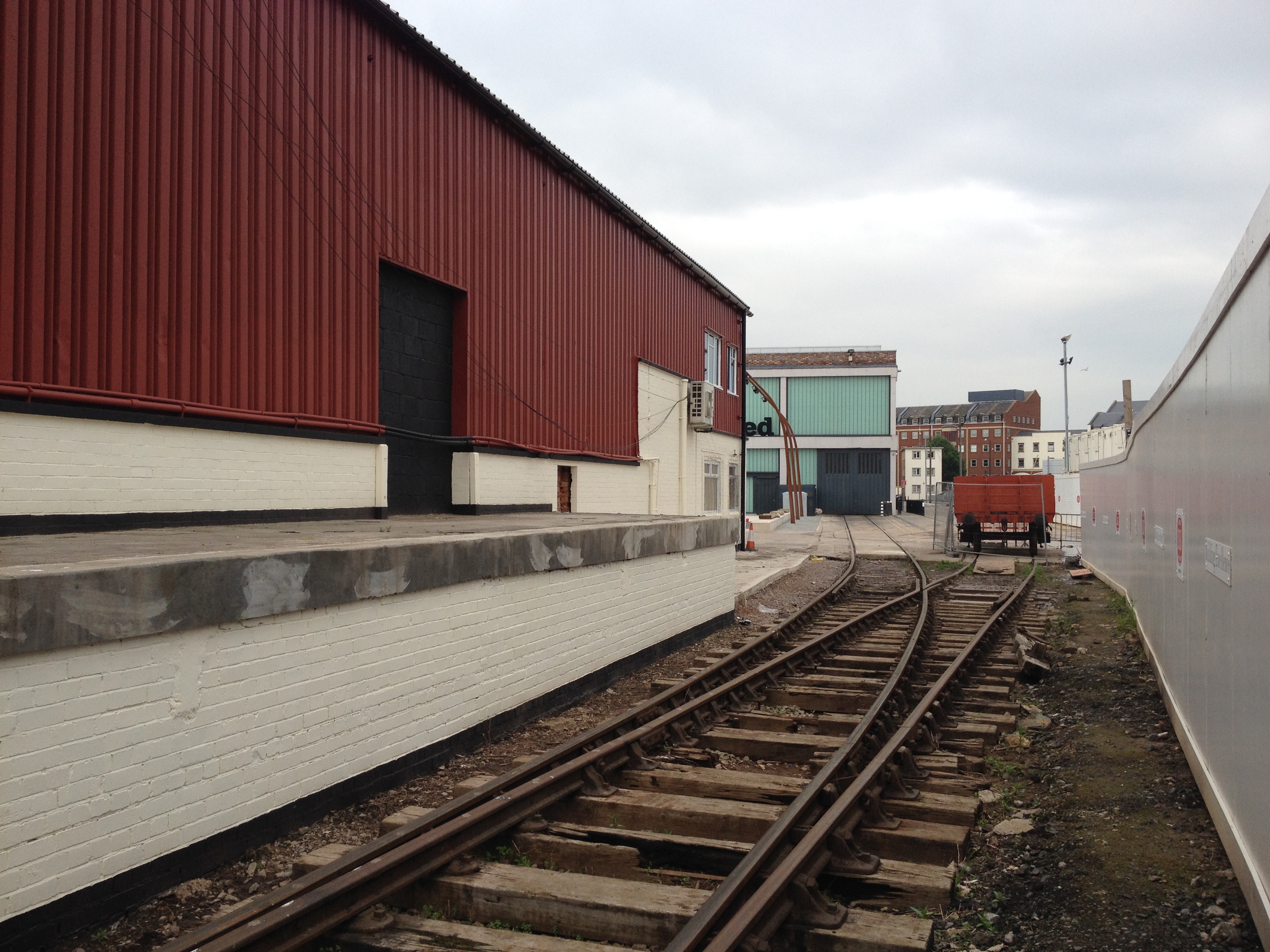
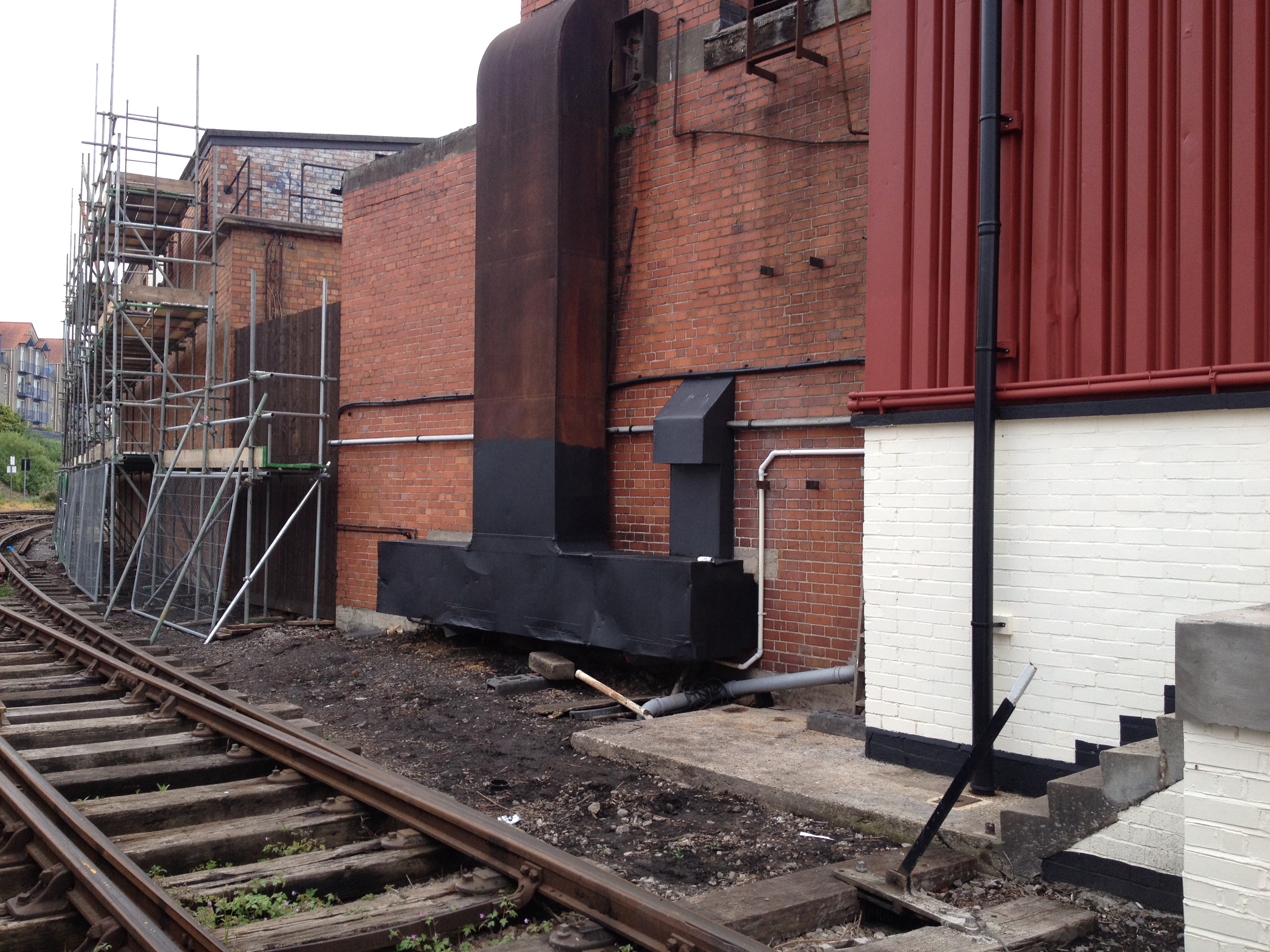
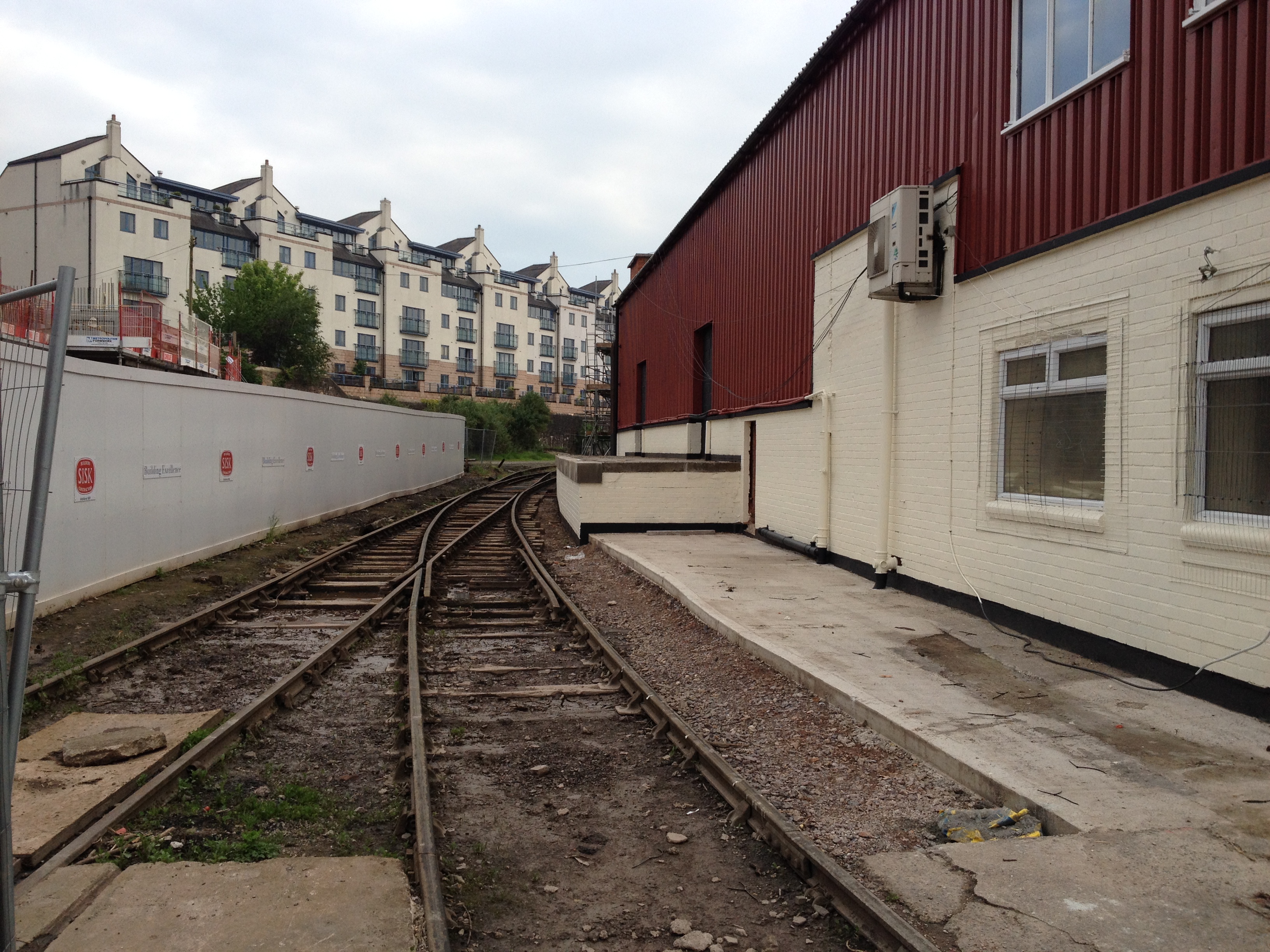
Compare this last photo with the view back in 2009

Likewise, this view back toward the shed has changed so much, and is due to change again, as the access road is to be built and will need to cross the two yard tracks.
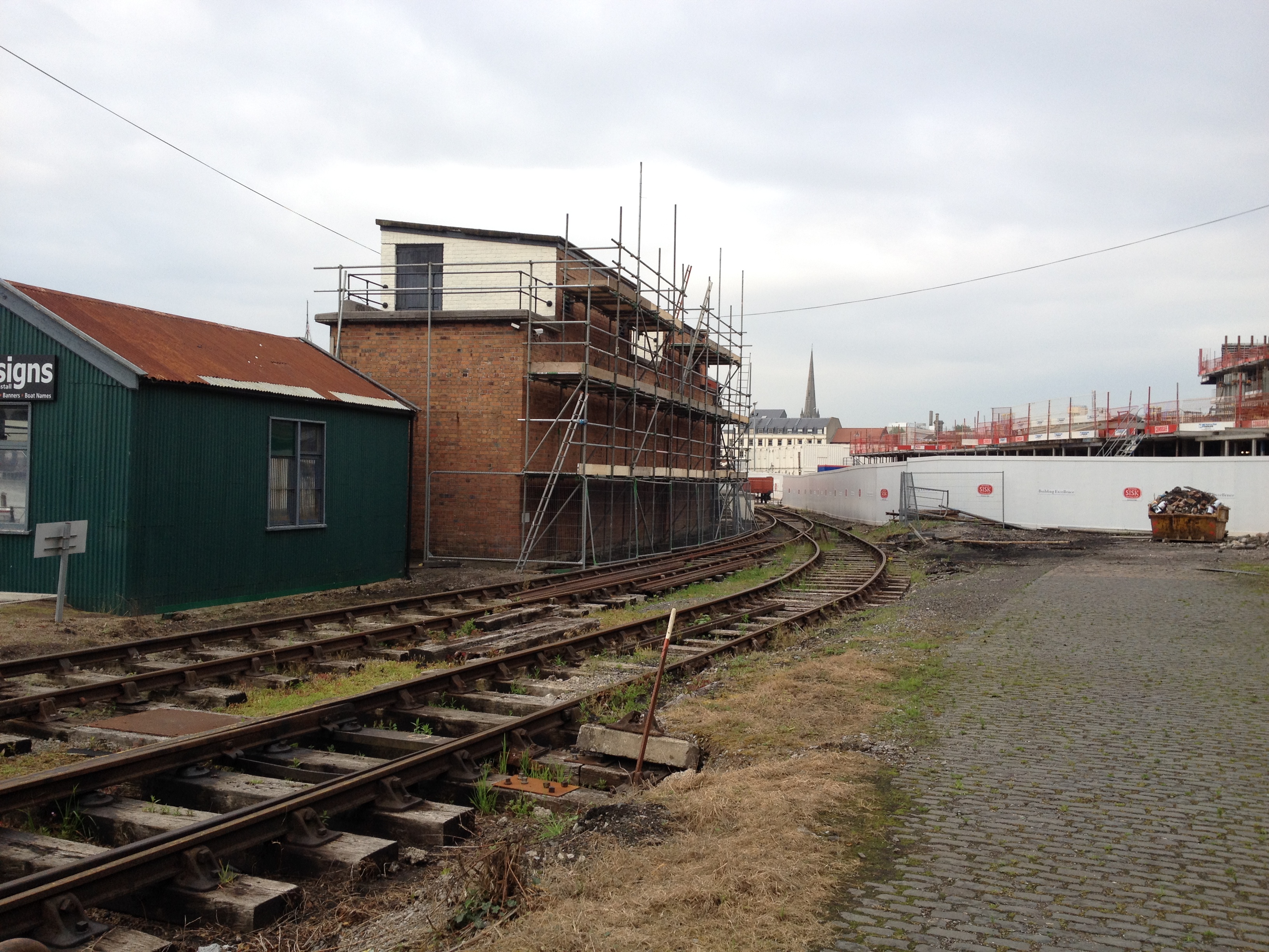
This shot of the Ruston, taken from the same location, is about a year old.

The phrase ‘ship shape and Bristol fashion’ refers to the high tidal reach of the River Avon in Bristol, where ships would have to be strong to withstand being on the riverbed every 4 hours.
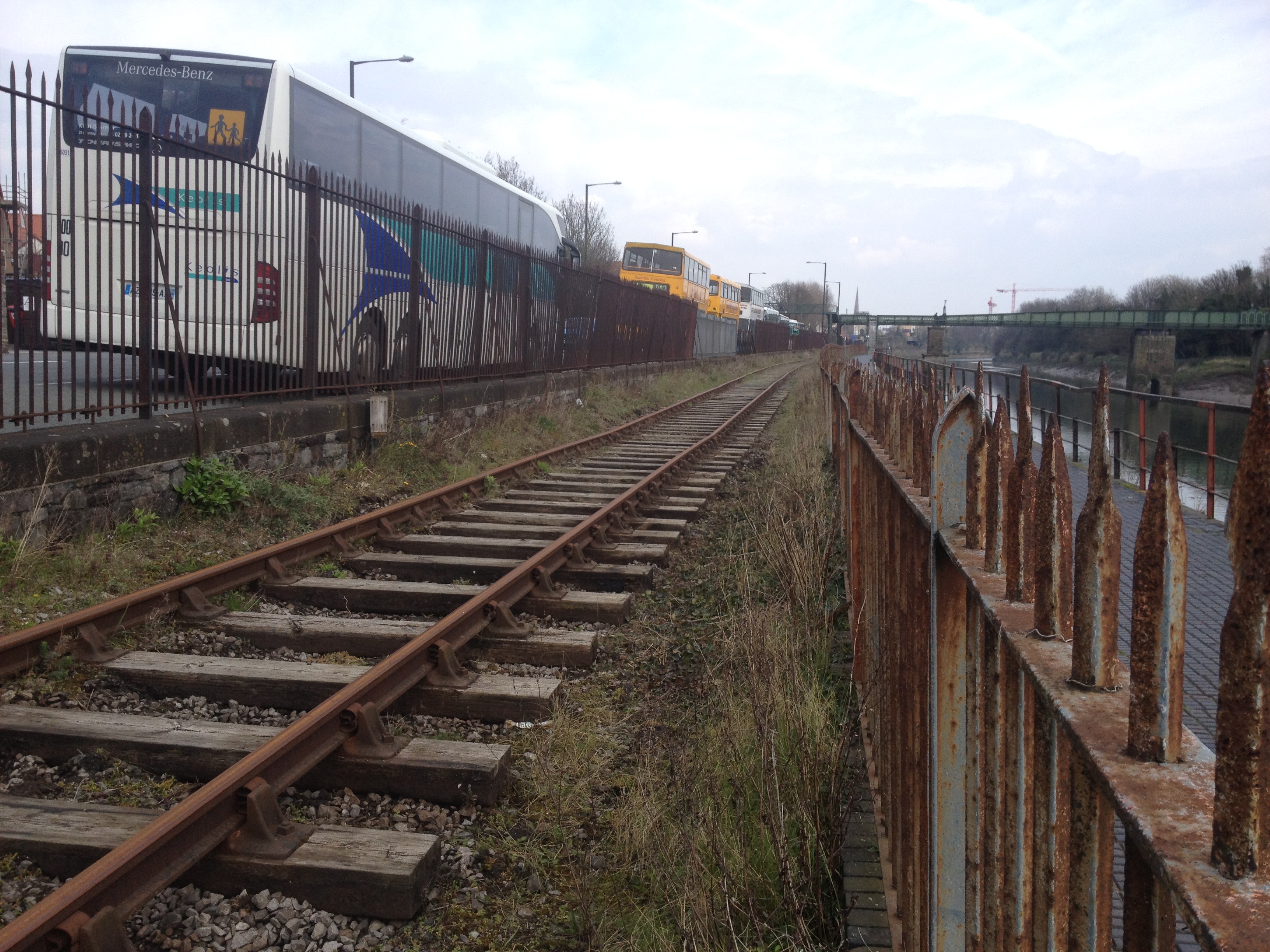
During the harsh tides this spring, the banks of the New Cut between Vauxhall Bridge and the Create Centre sagged a bit, requiring this section to be closed while repairs were carried out.
This photo shows the ‘sag’ in the track.
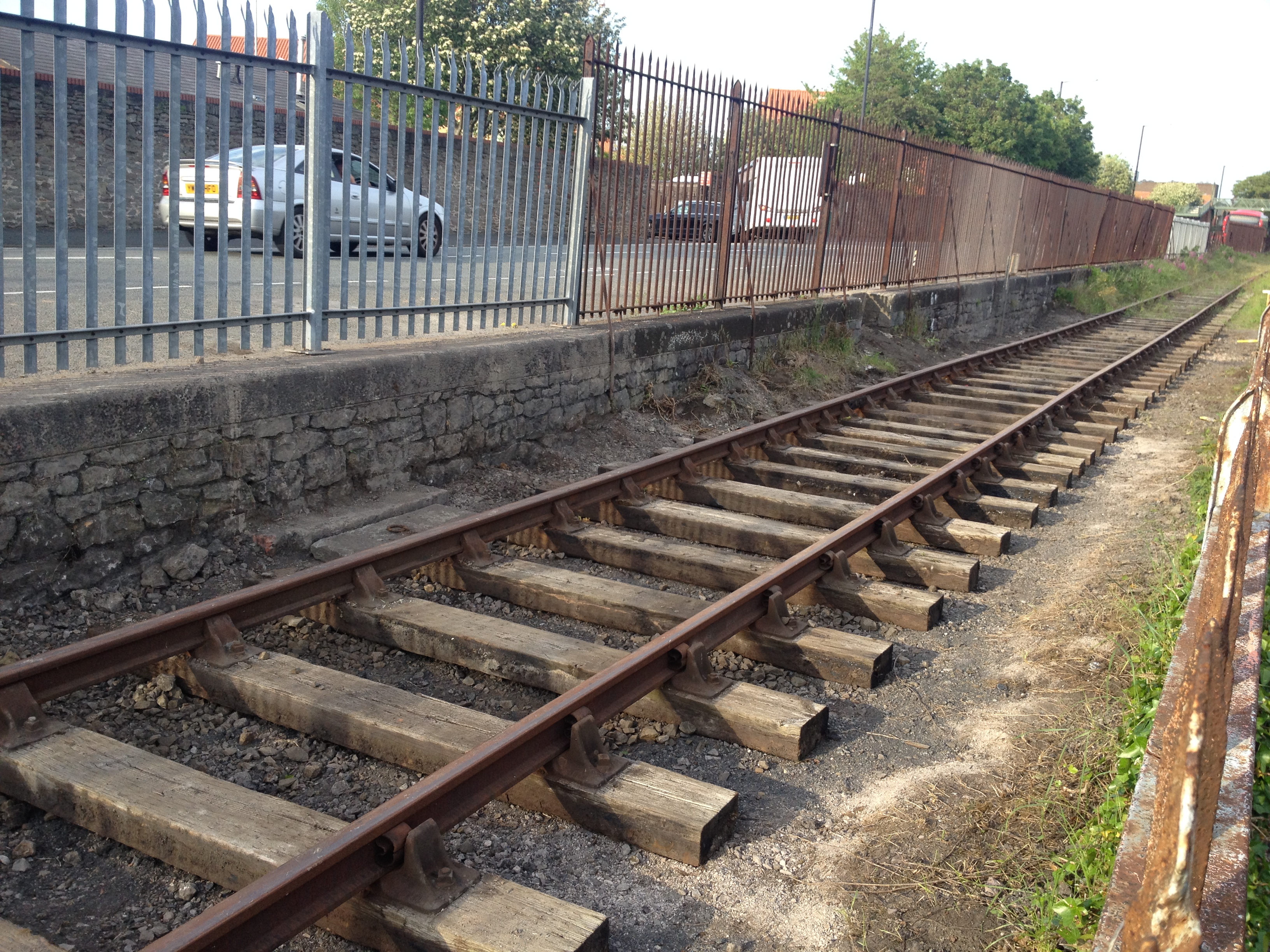
The rails in this section were duly lifted, and the sleepers repositioned to form a ramp for construction equipment to get in.
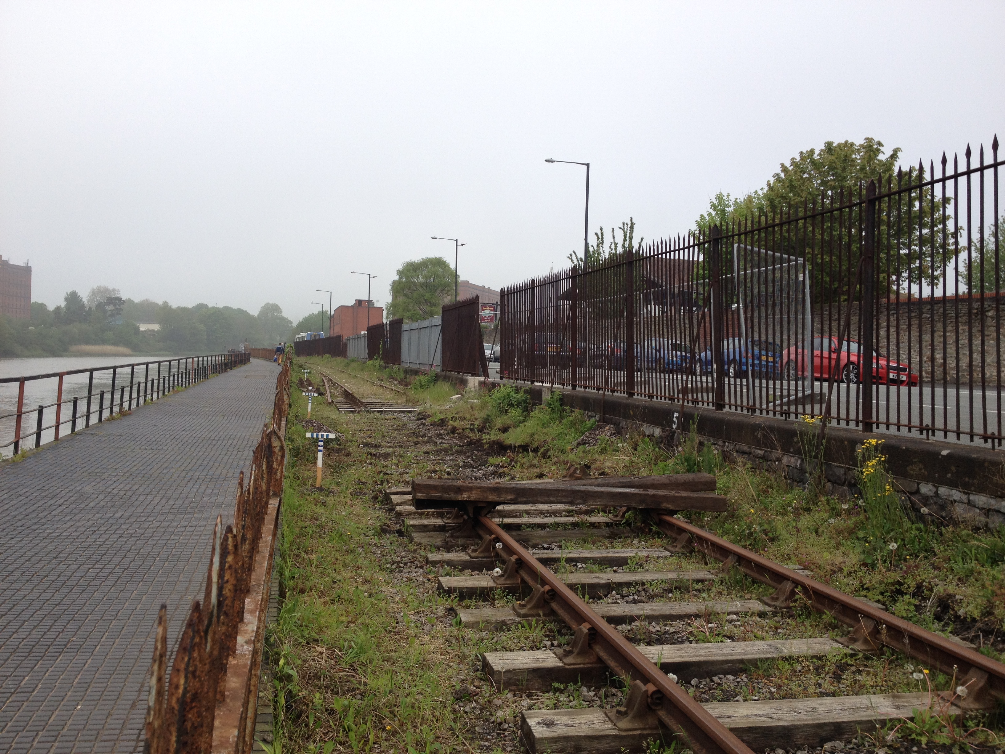
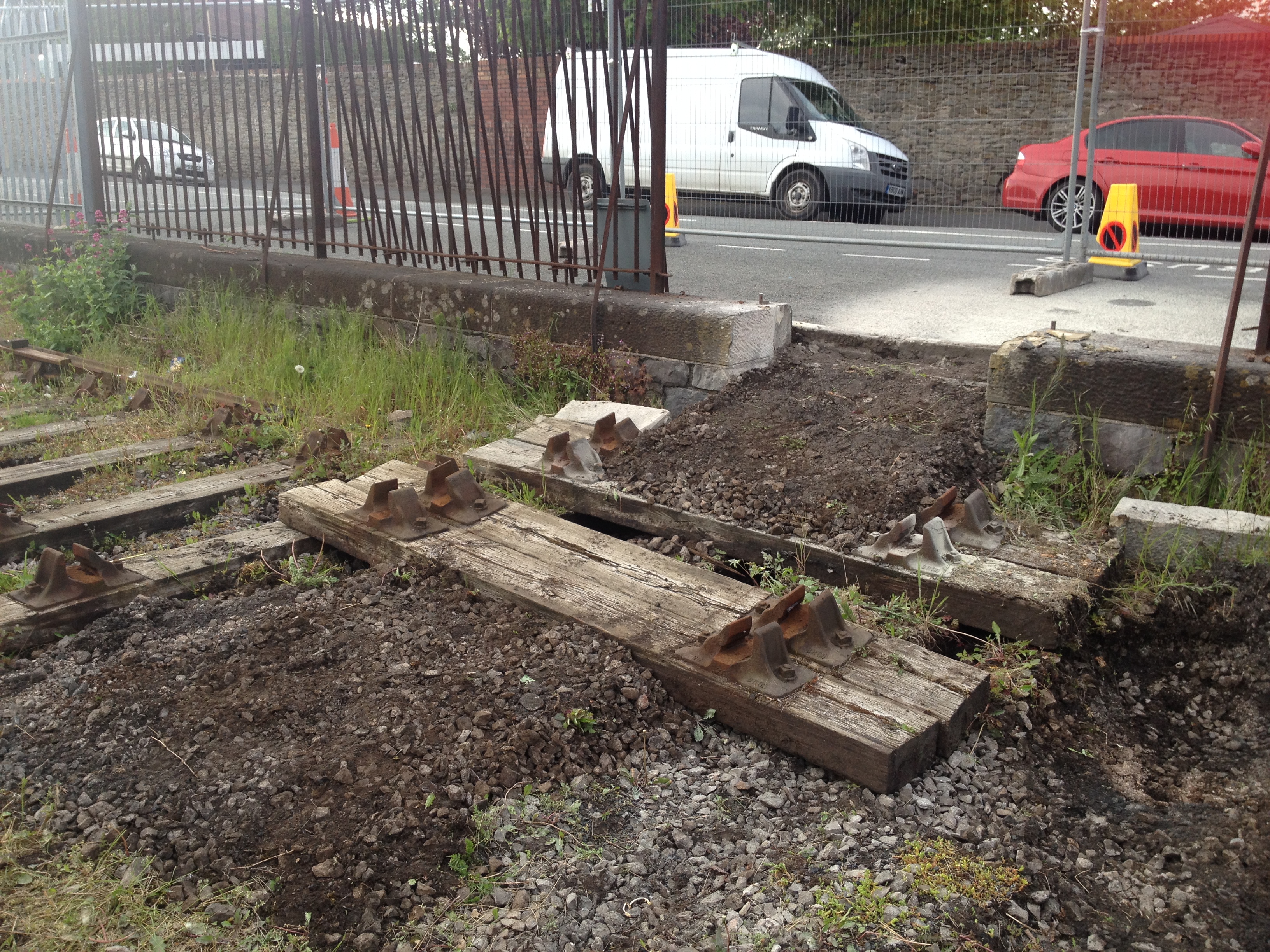
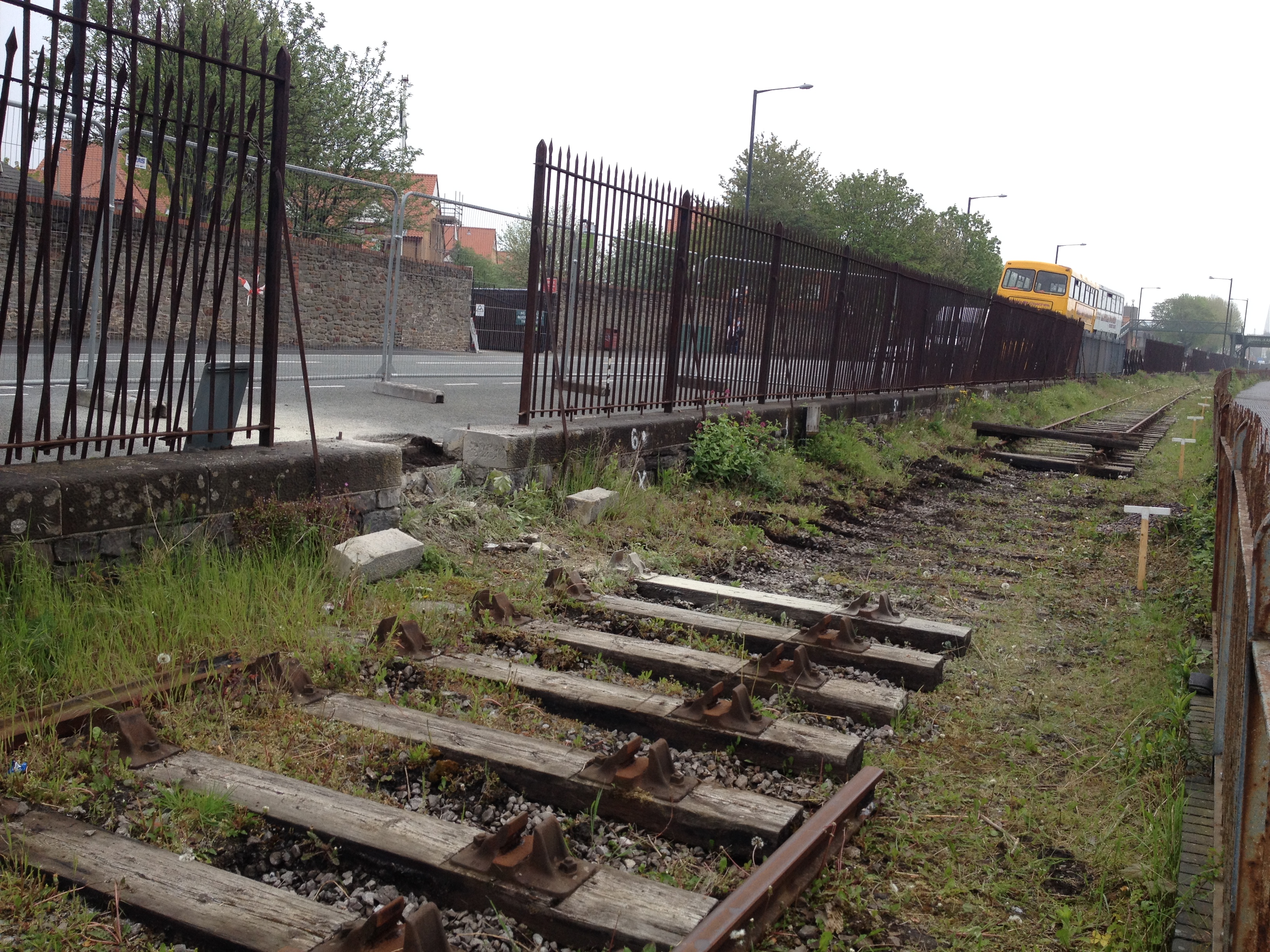
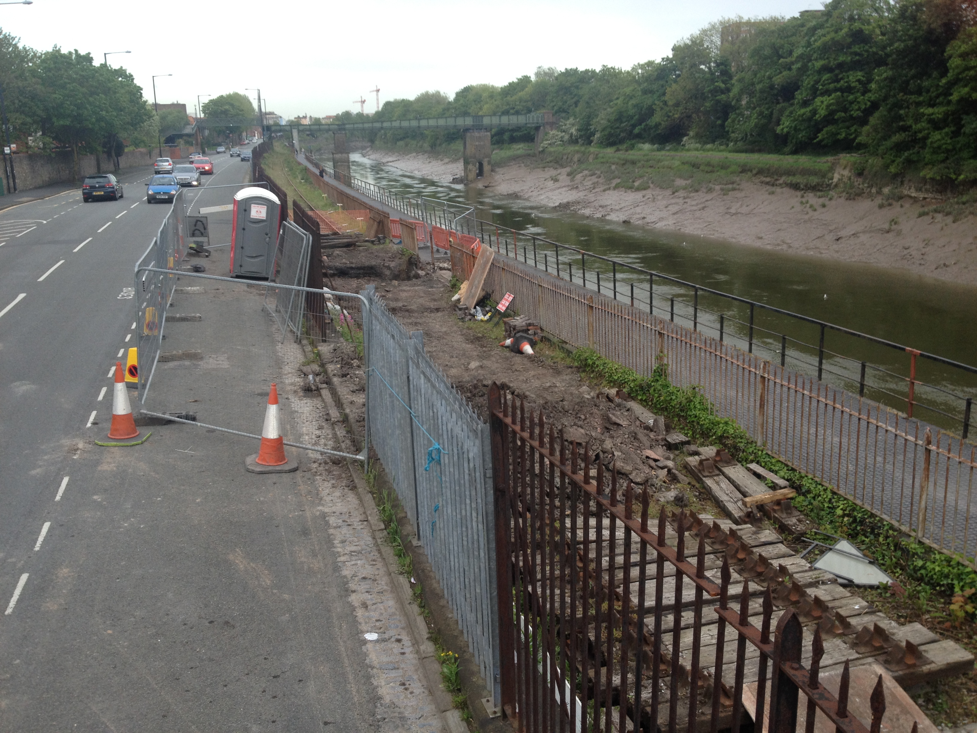
Within two weeks the operation was completed, allowing ‘Henbury’ to propel the first passenger trains across the repaired section. A speed limit of 5mph is currently in place here.
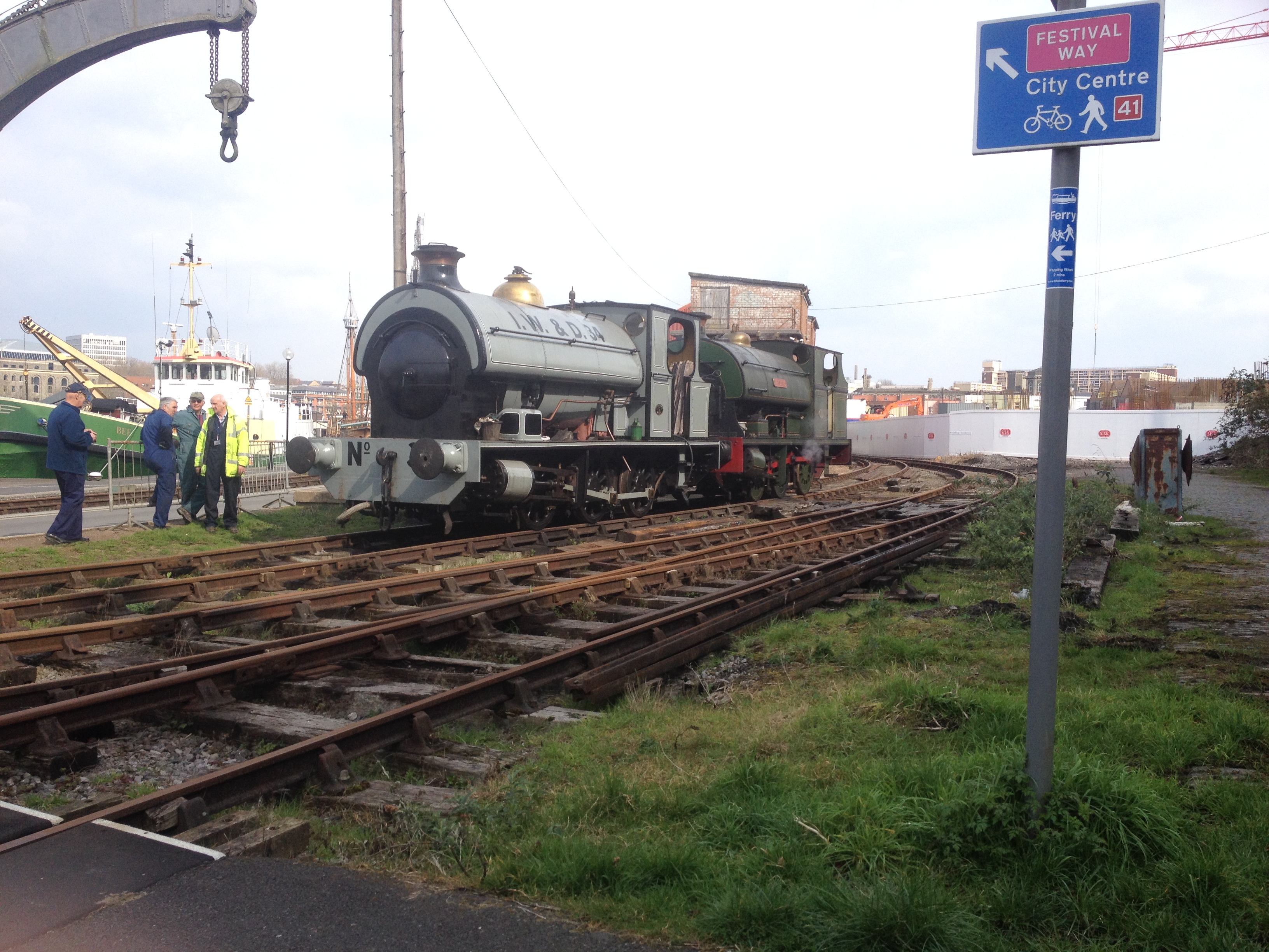
With the first running weekend of the year just around the corner (5-6th April), the two steam locos were out in the open to be inspected. Henbury has had new seals fitted over the winter, and Portbury is nearing the end of her running-in period.
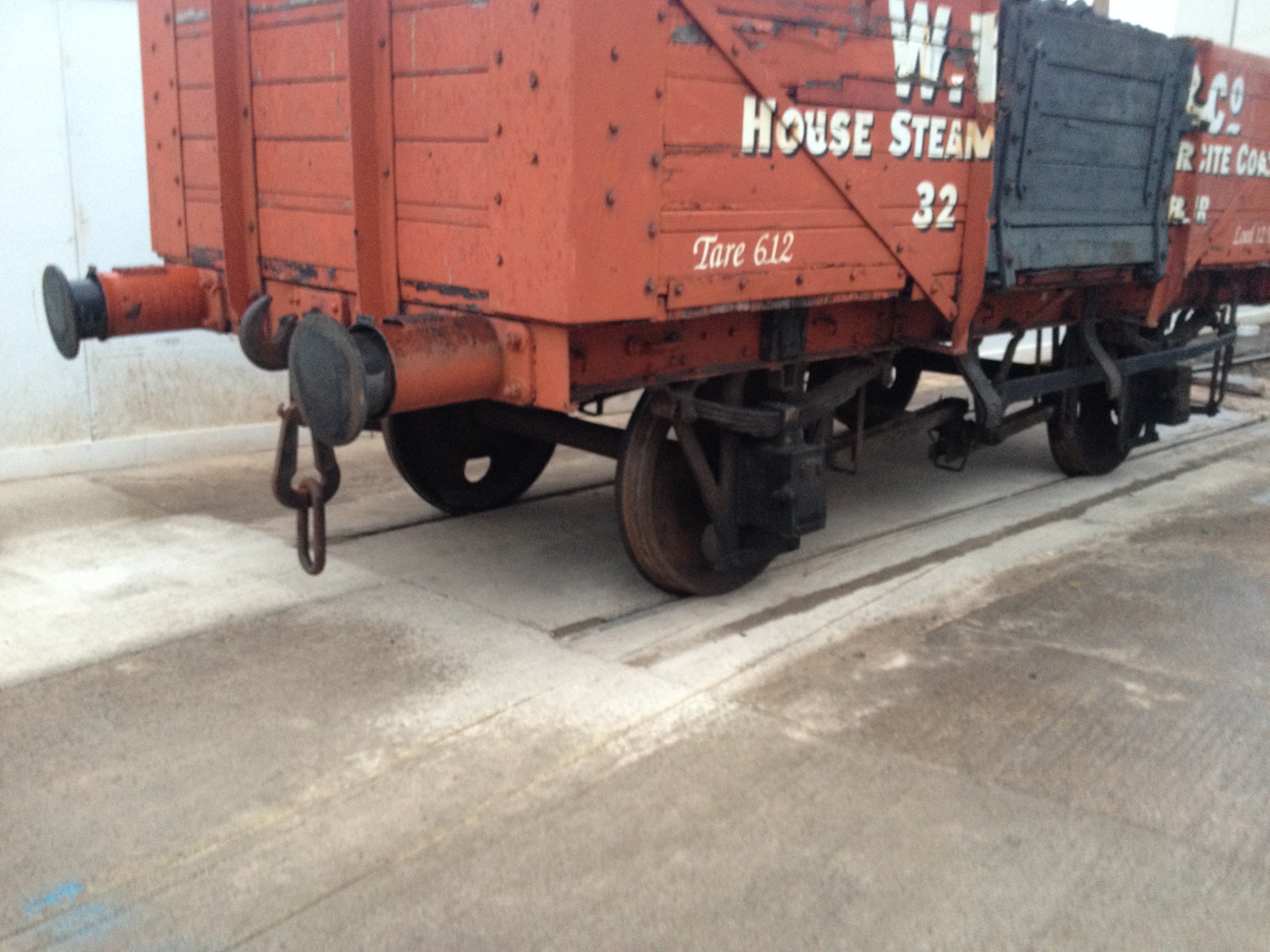
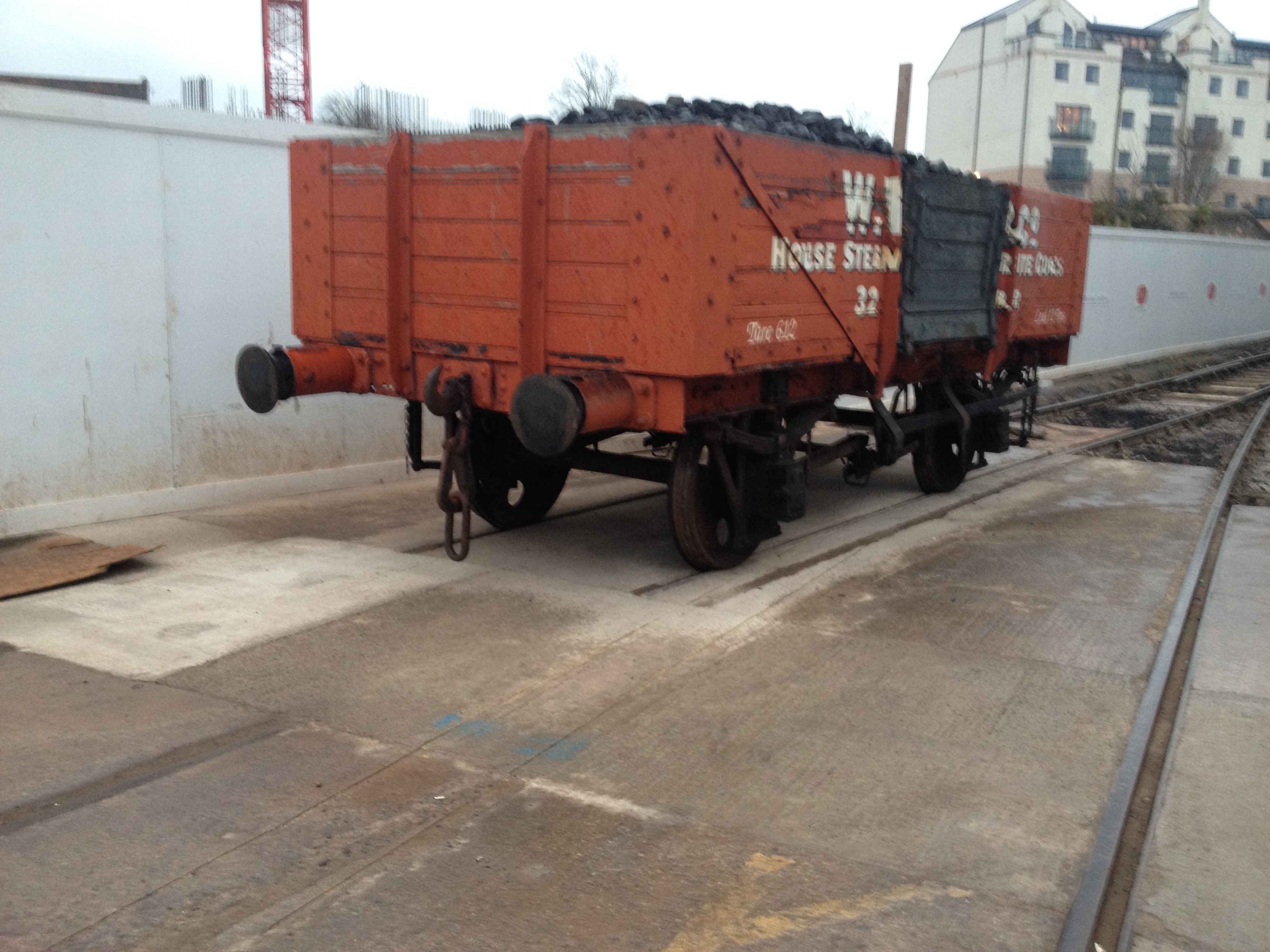
The curtailed siding at M Shed has been re-filled.
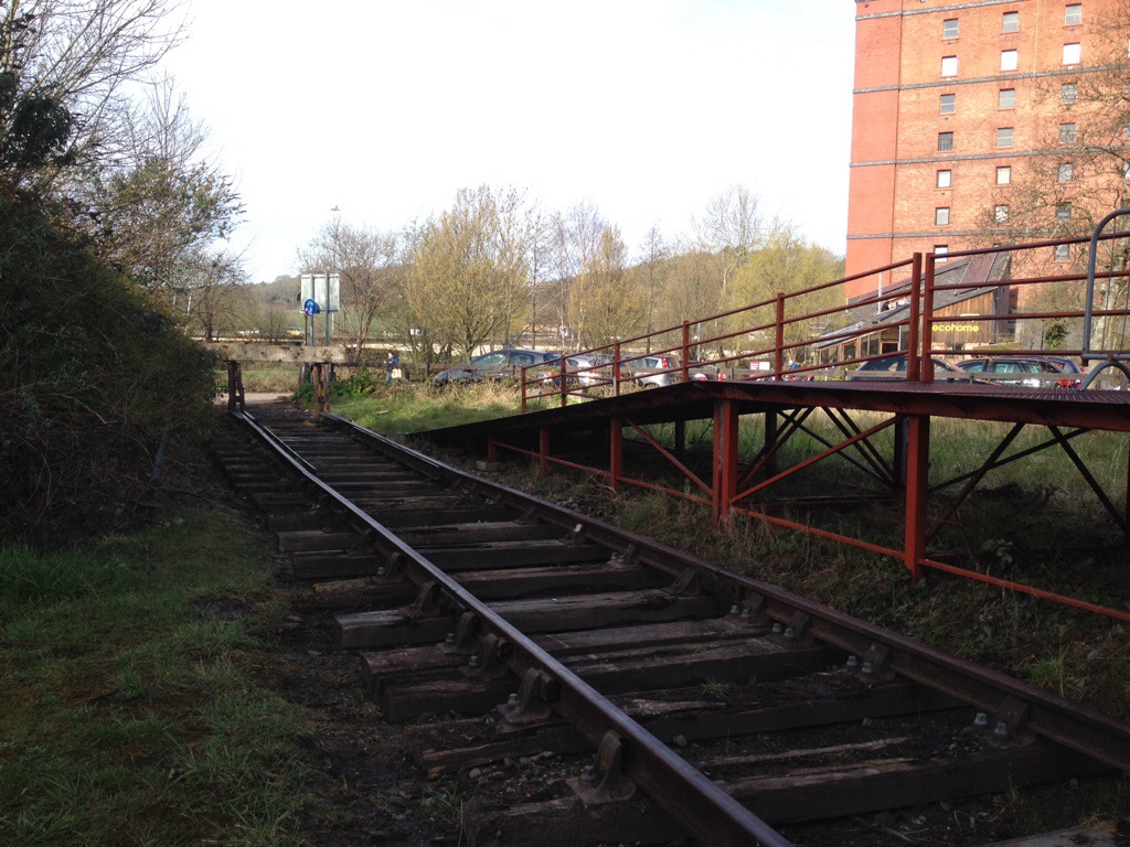
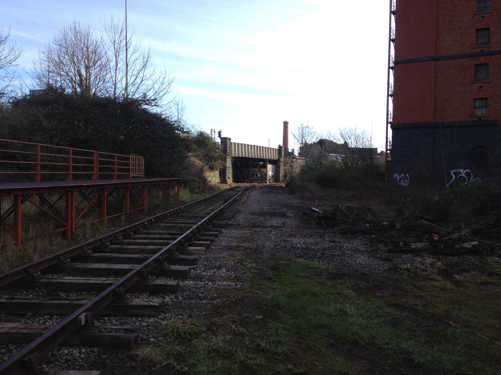
The single line is now relaid at Butterfly Junction for retaining access to the Smeaton Road shed.
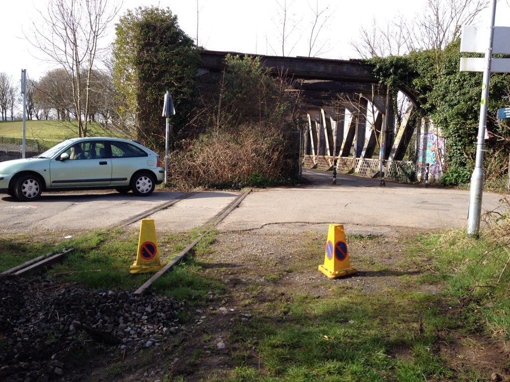
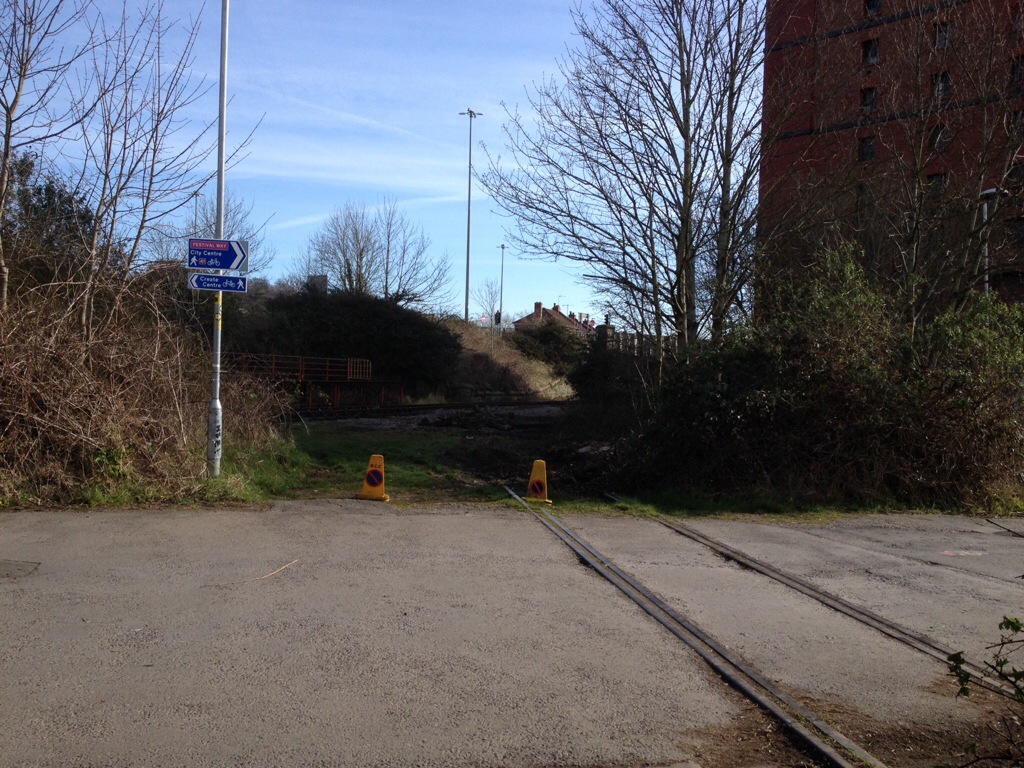
Ashton Avenue Bridge is now severed.
Meanwhile, the Barn Yard takes shape. Both shed roads are nearly laid, as well as the line running around the back of the shed.
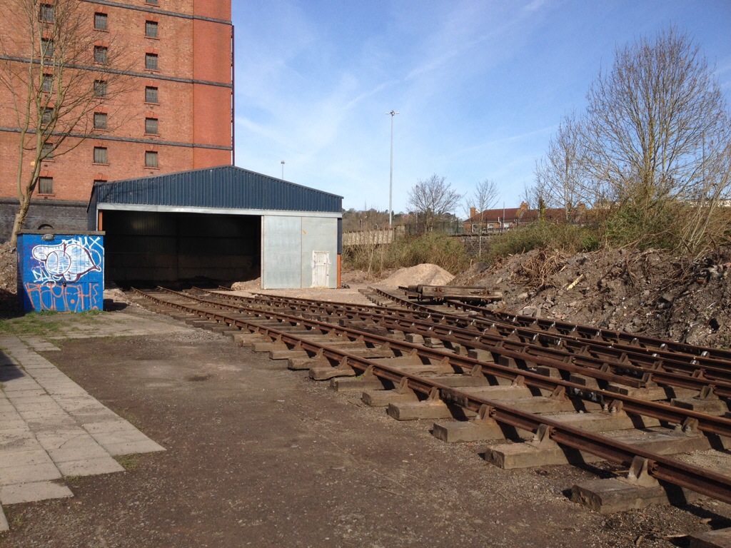
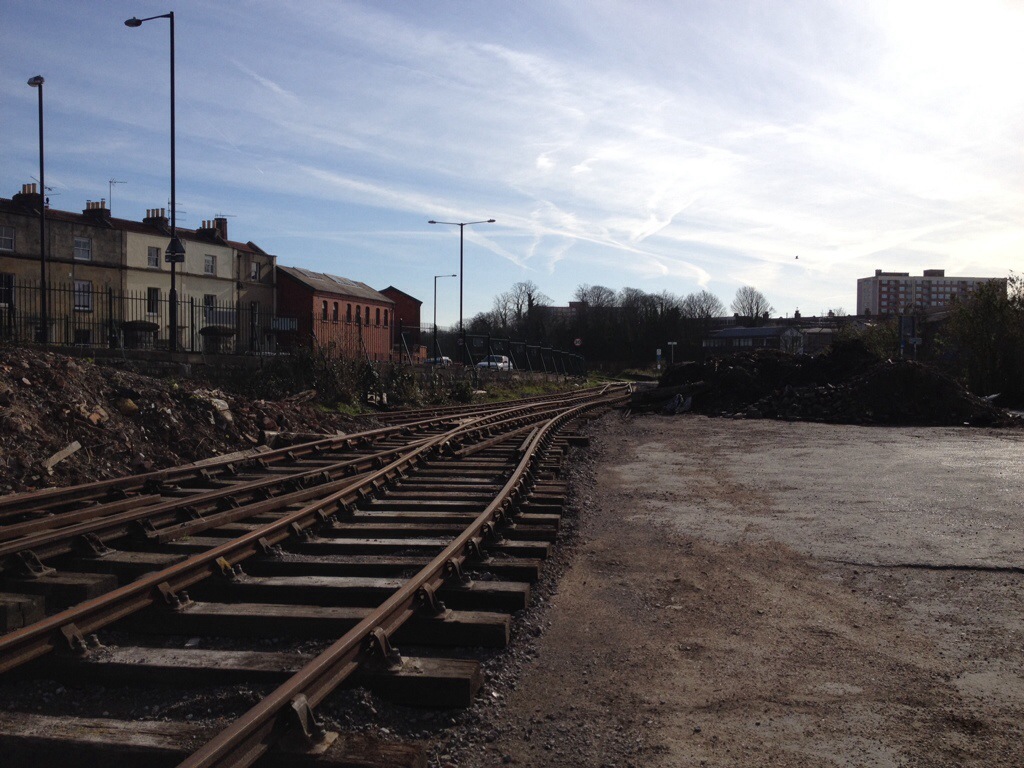
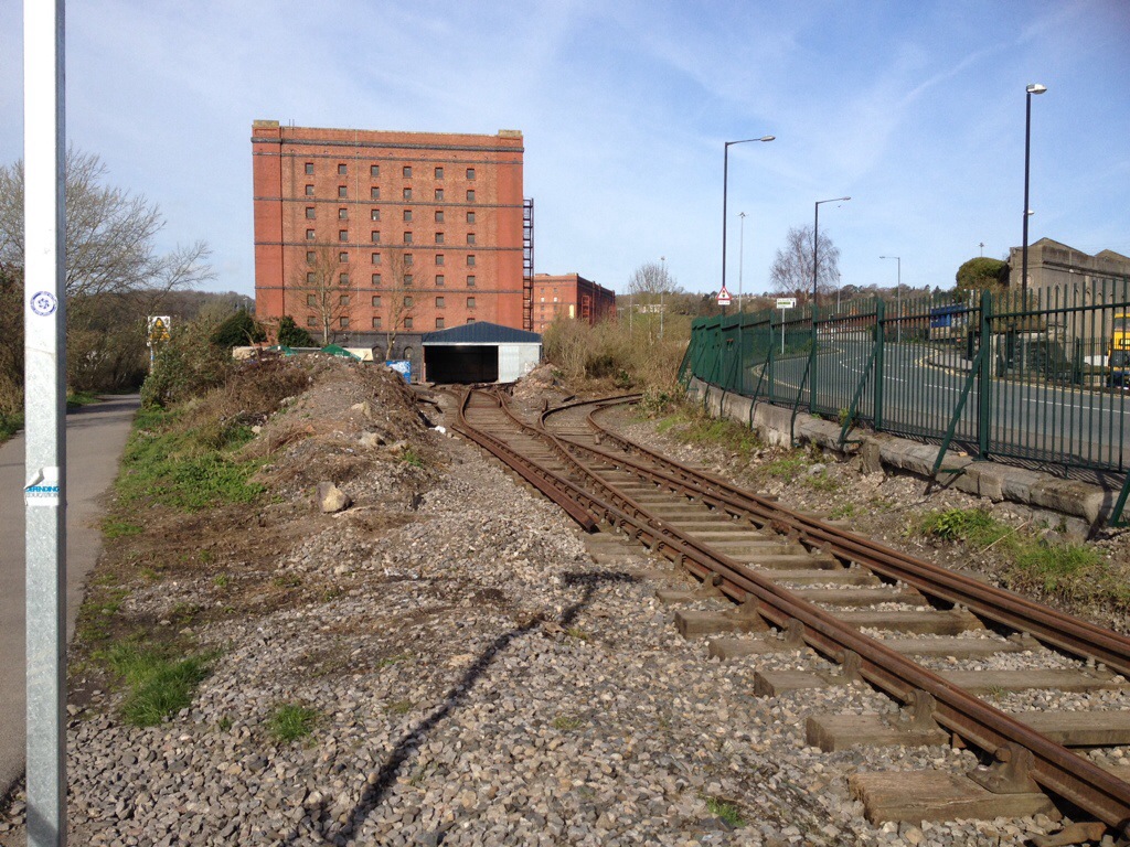
The track gangs (Usually a team of no more than 6 people) have been extremely busy in modifying the layout at Butterfly Junction.
This was the view today – the line through the station has been lifted, as has the loop, and the sleepers from the Ashton Meadows Spur have been recovered.
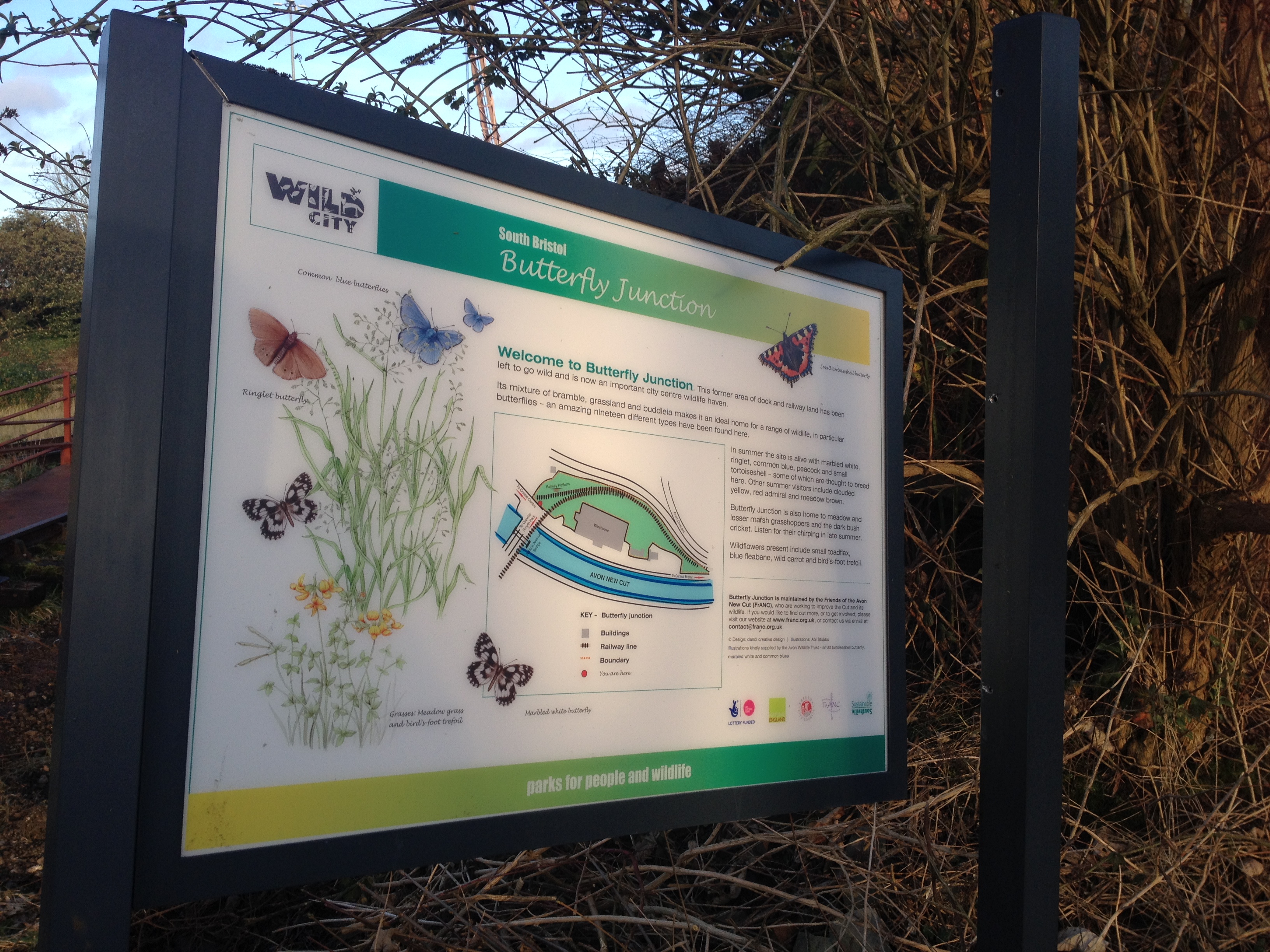
Perhaps aptly, the station information board is rather lopsided.
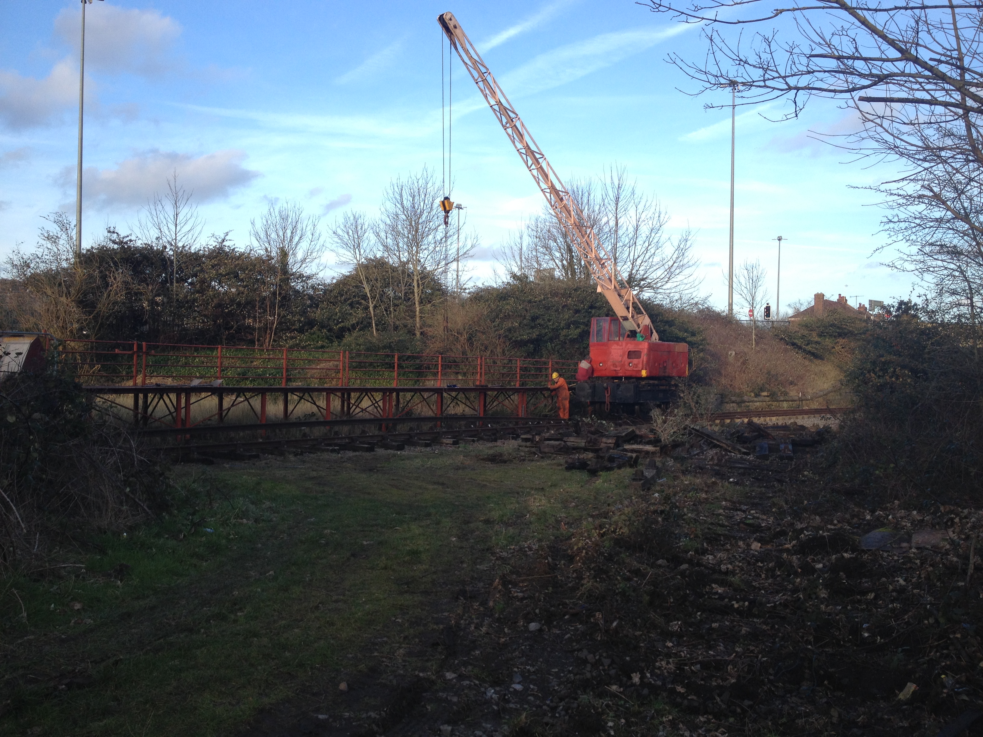
In the shadow of the tobacco bond warehouses, the crane lifts the last few remaining rails from the station area.
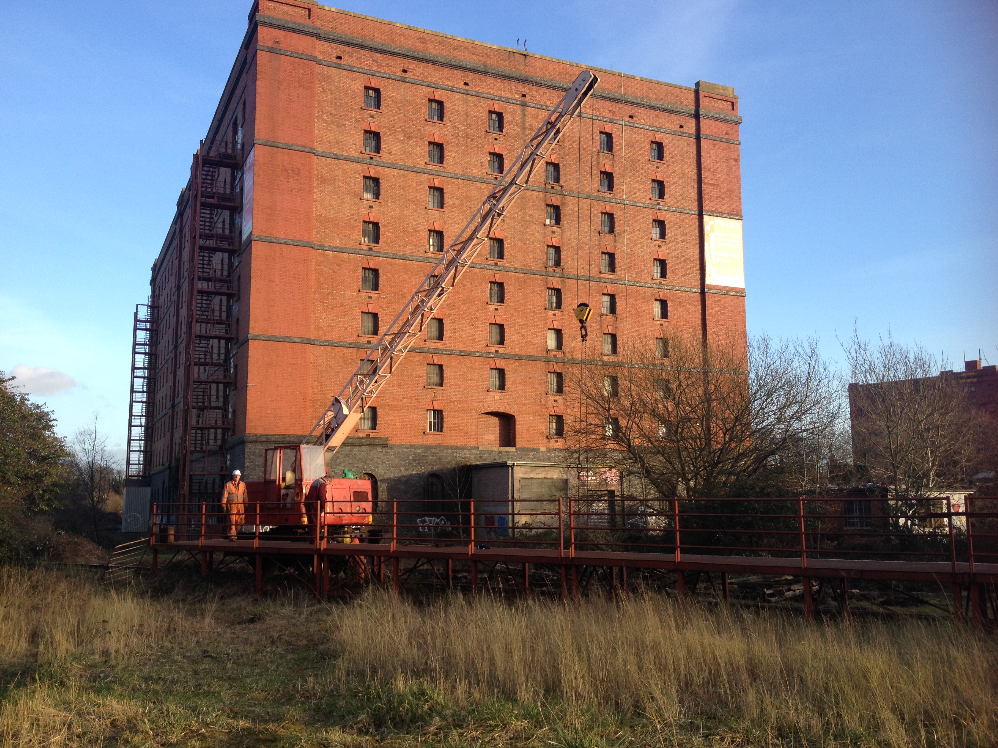
Larry the loader assists
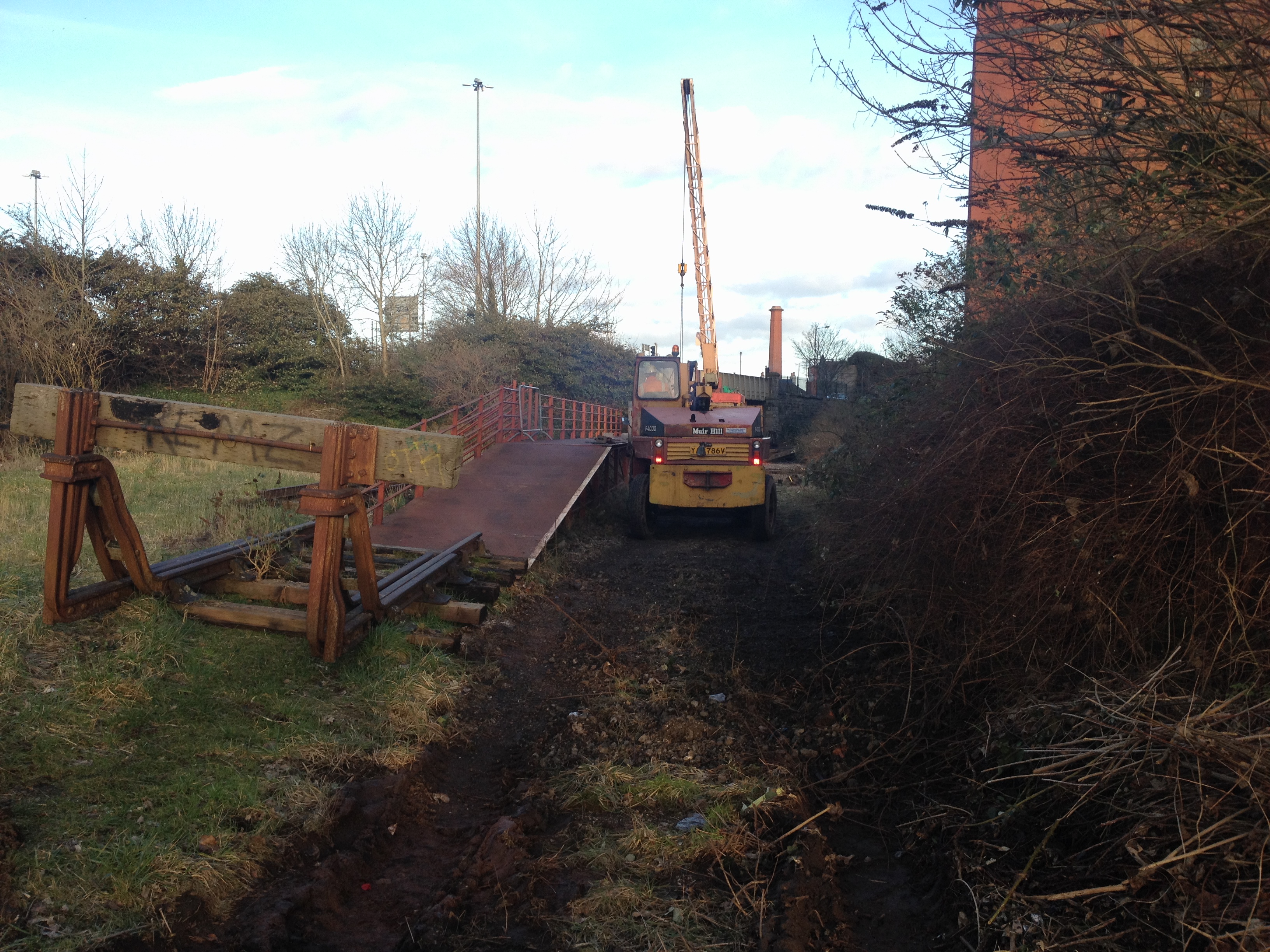
The foreground is where the spur to Ashton Meadows used to run – this is planned to form part of the Metrobus route
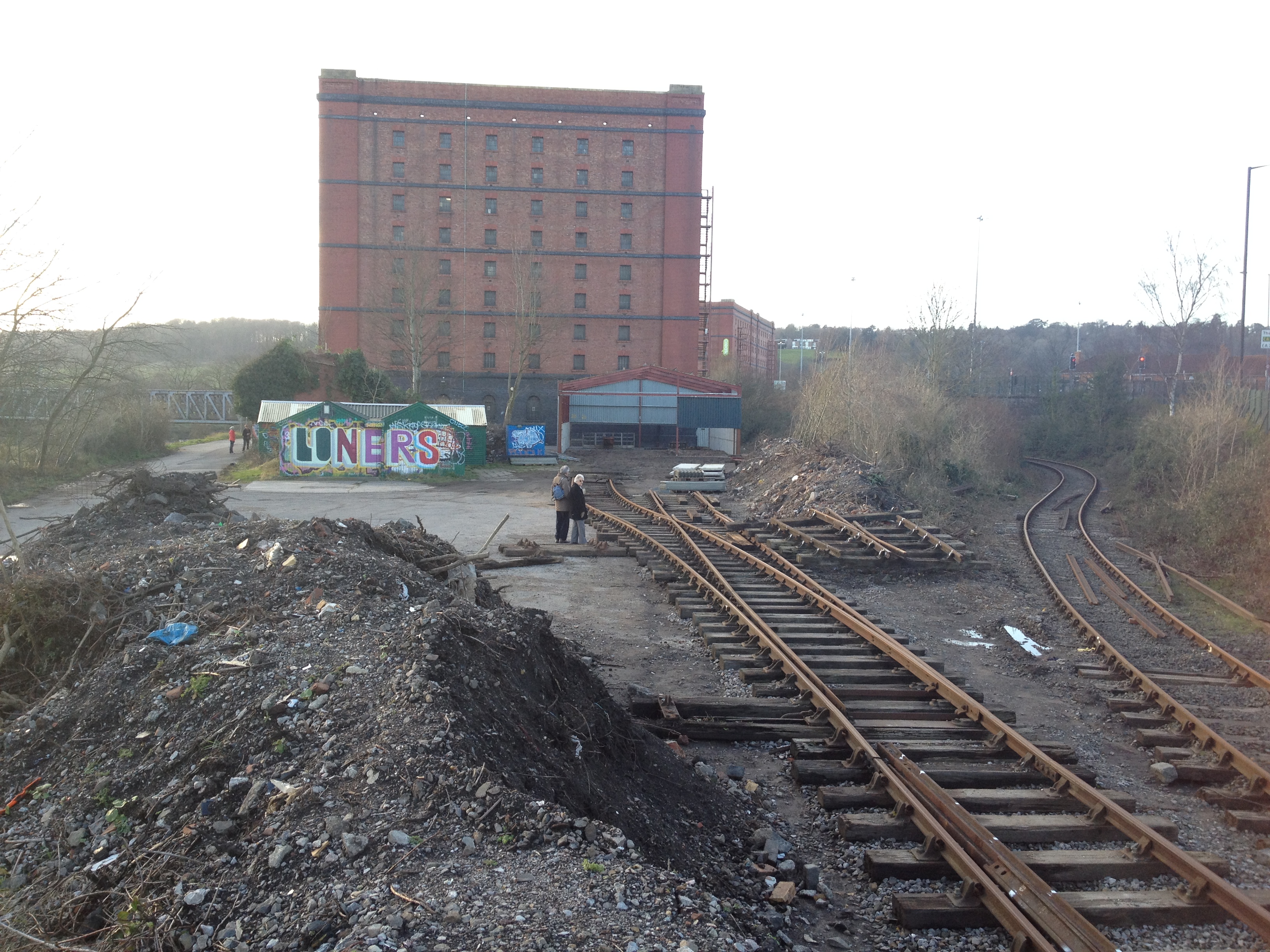
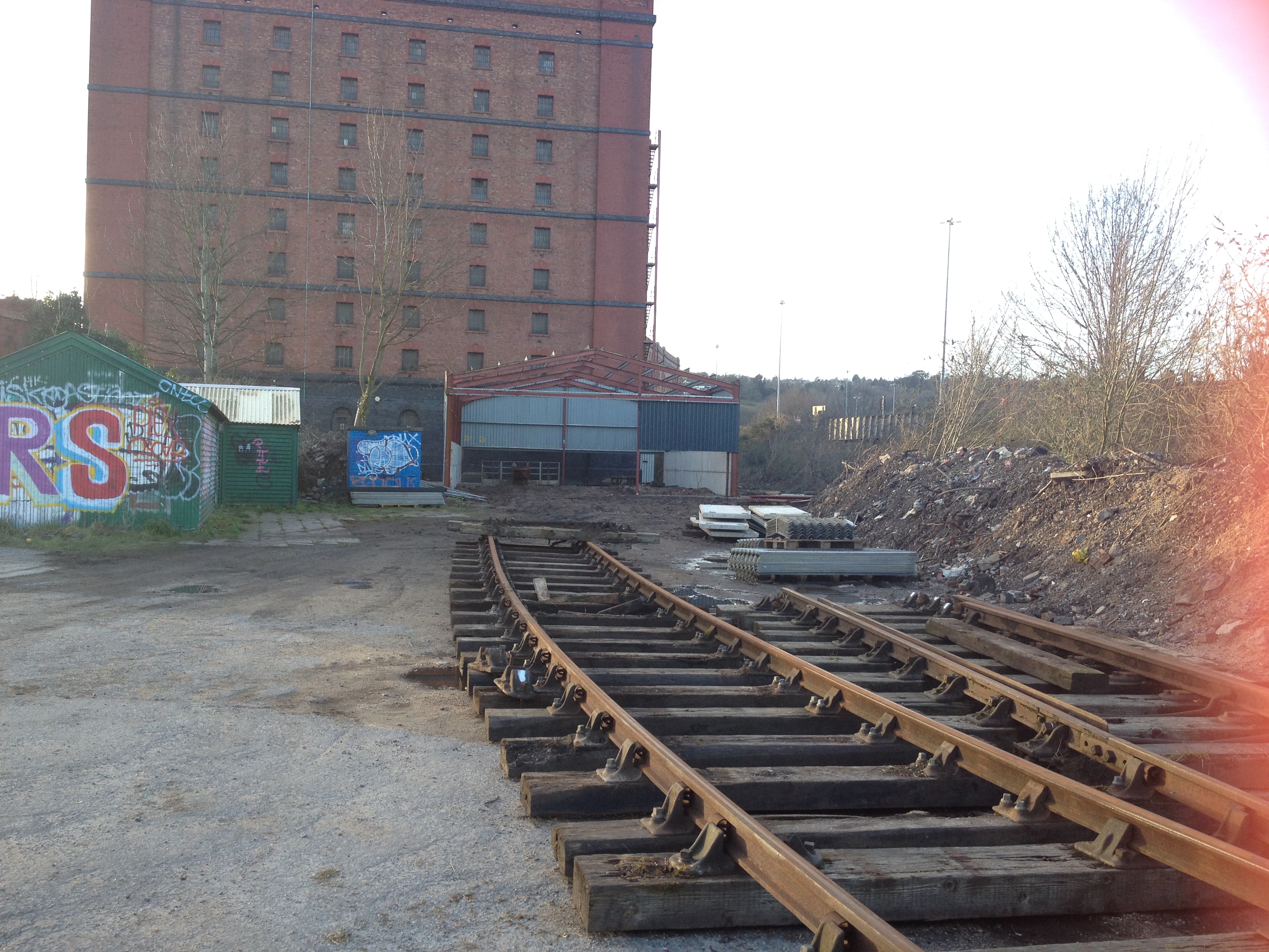
Just around the corner, the new shed and yard is taking shape. Compare these photos to those taken in January, another set of points has been laid on the approach to the Barn, which is already half assembled.
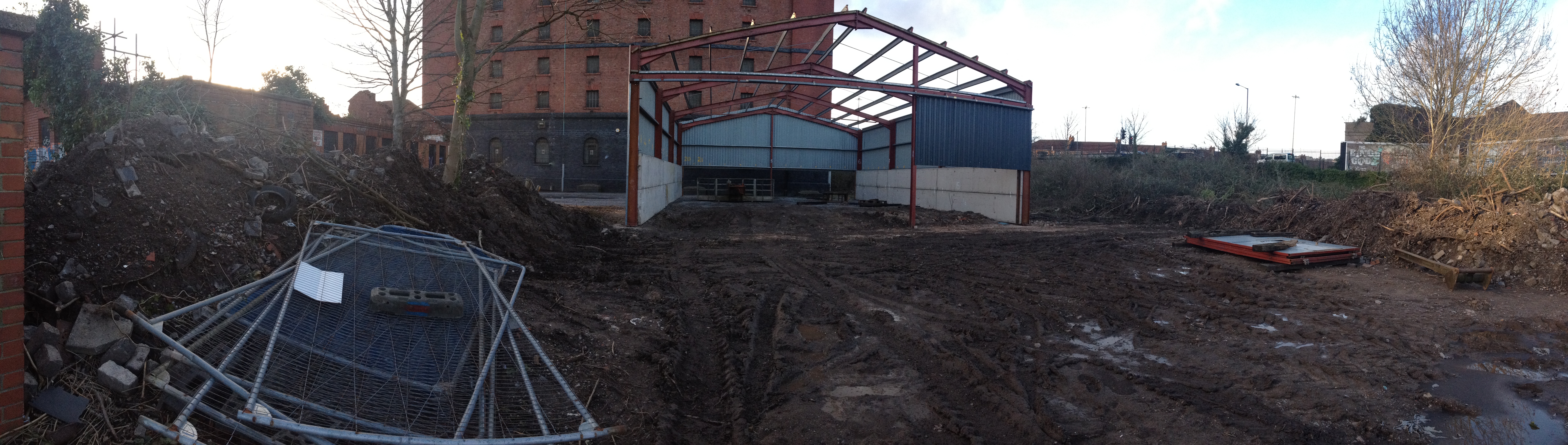
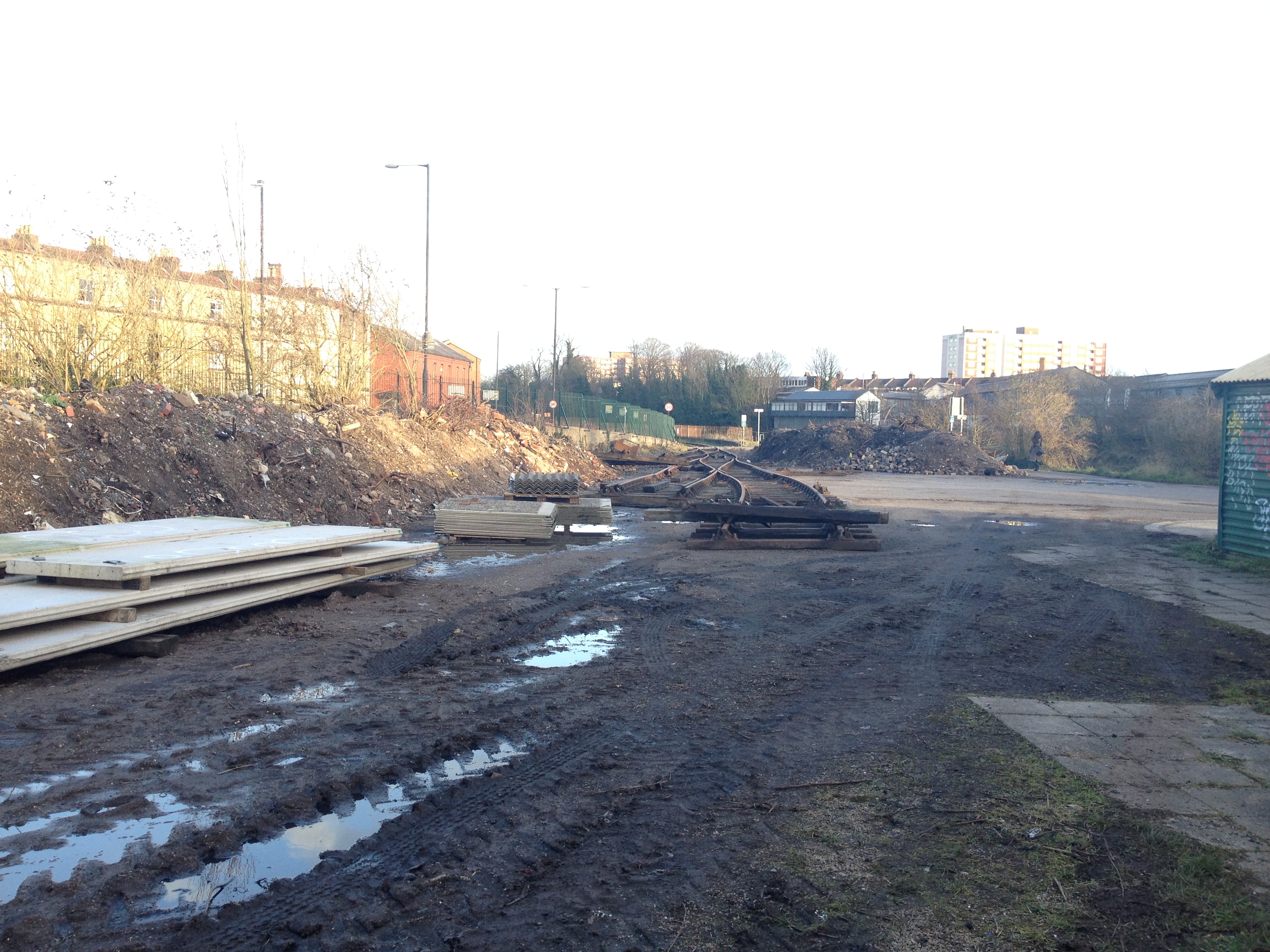
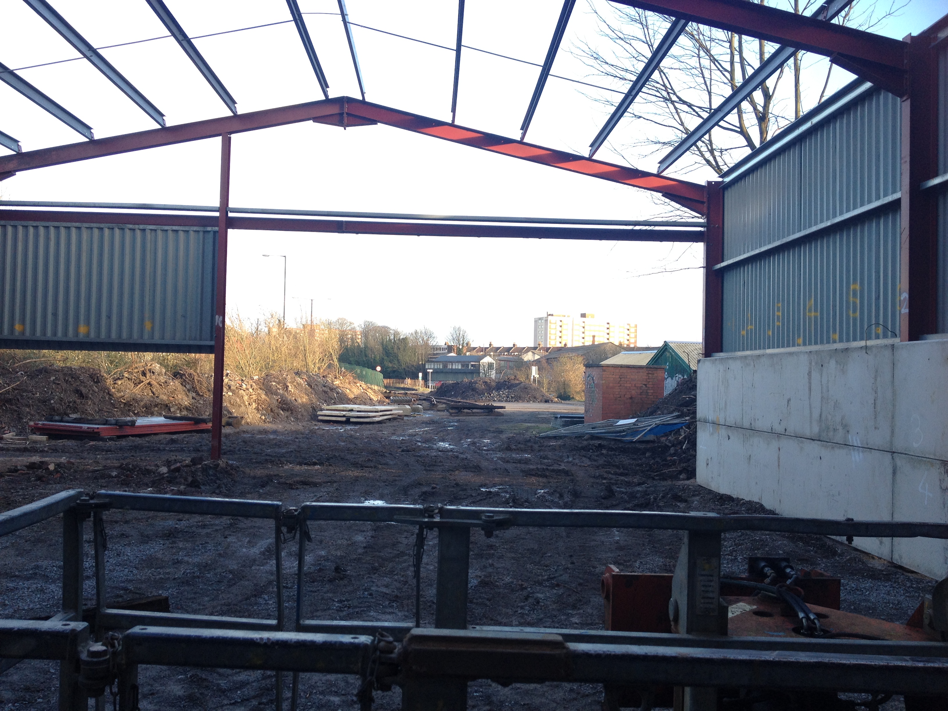
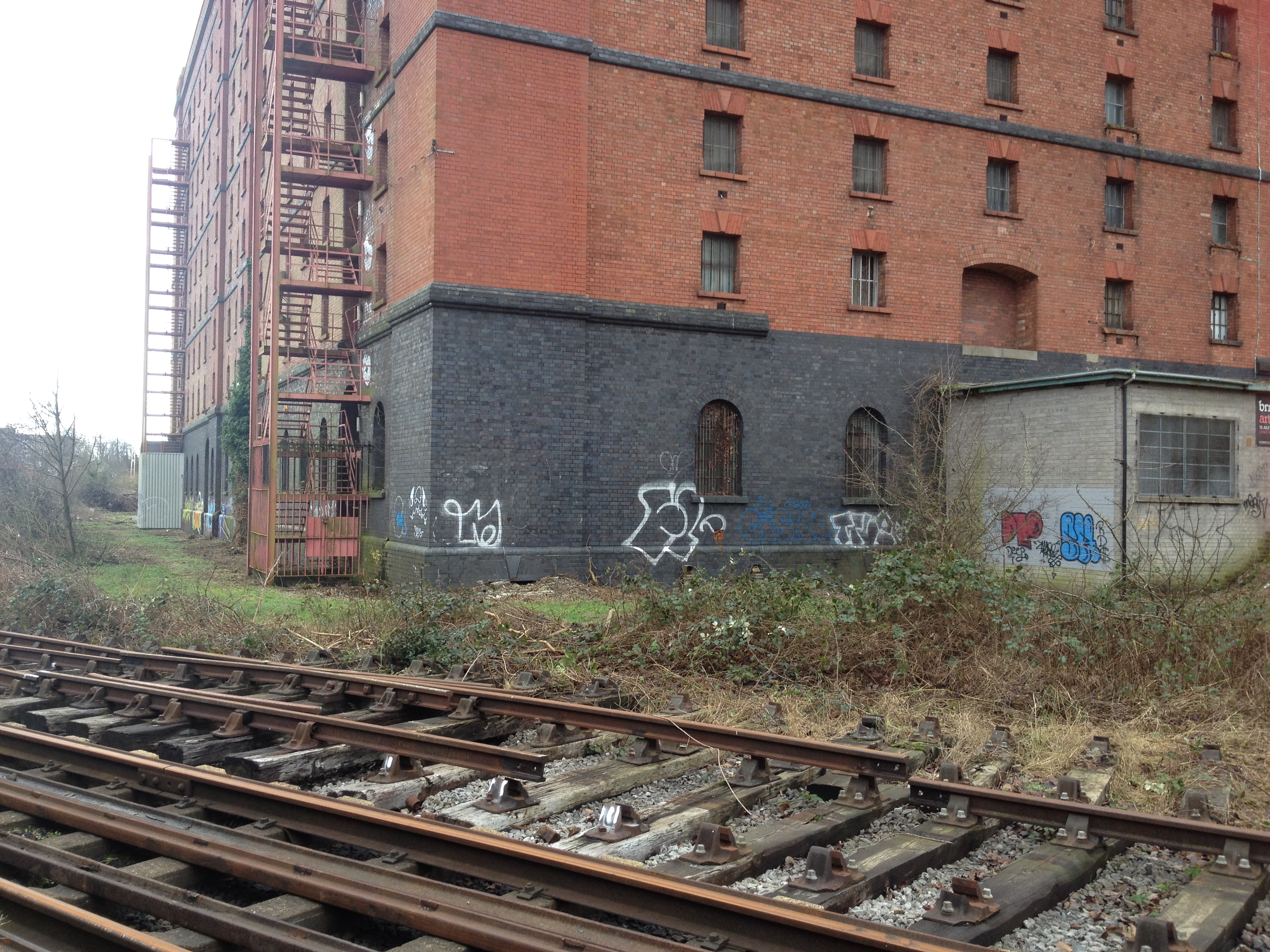
Down at Butterfly Junction on a windy January day, the simplification of the track layout has seen the point to Ashton Swing Bridge removed…
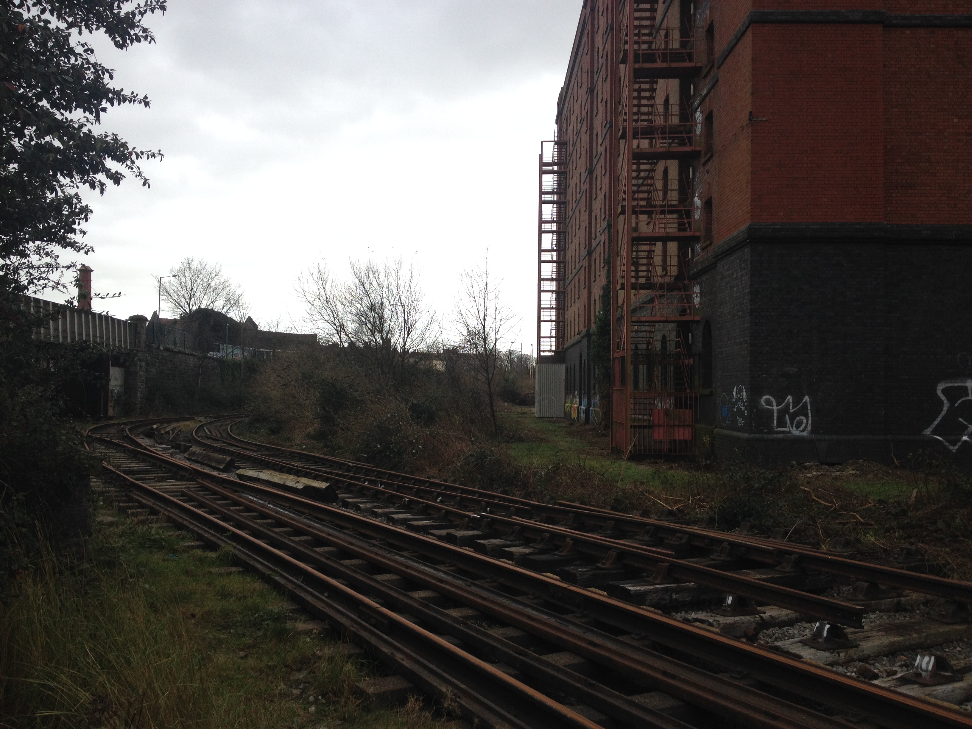
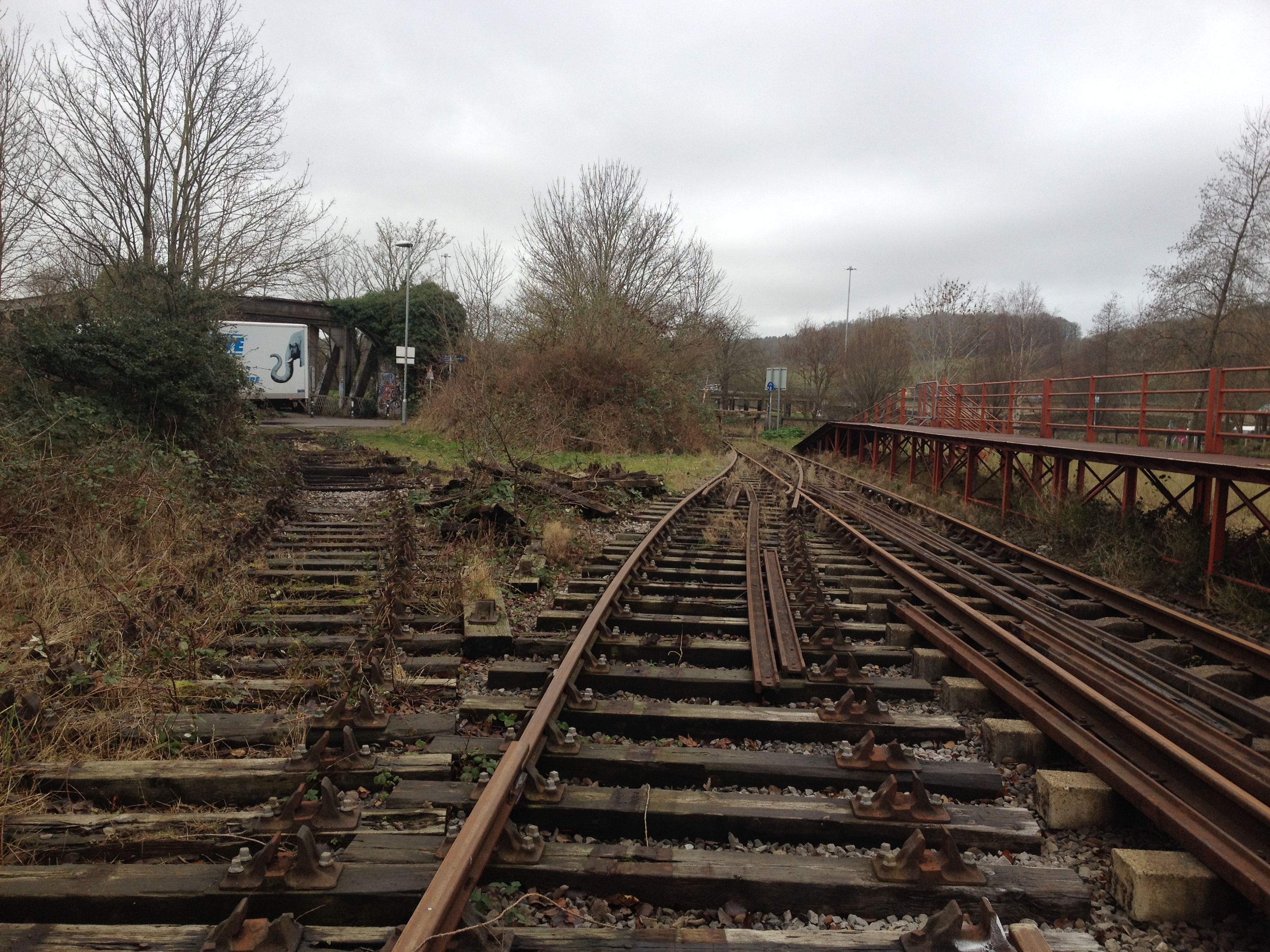
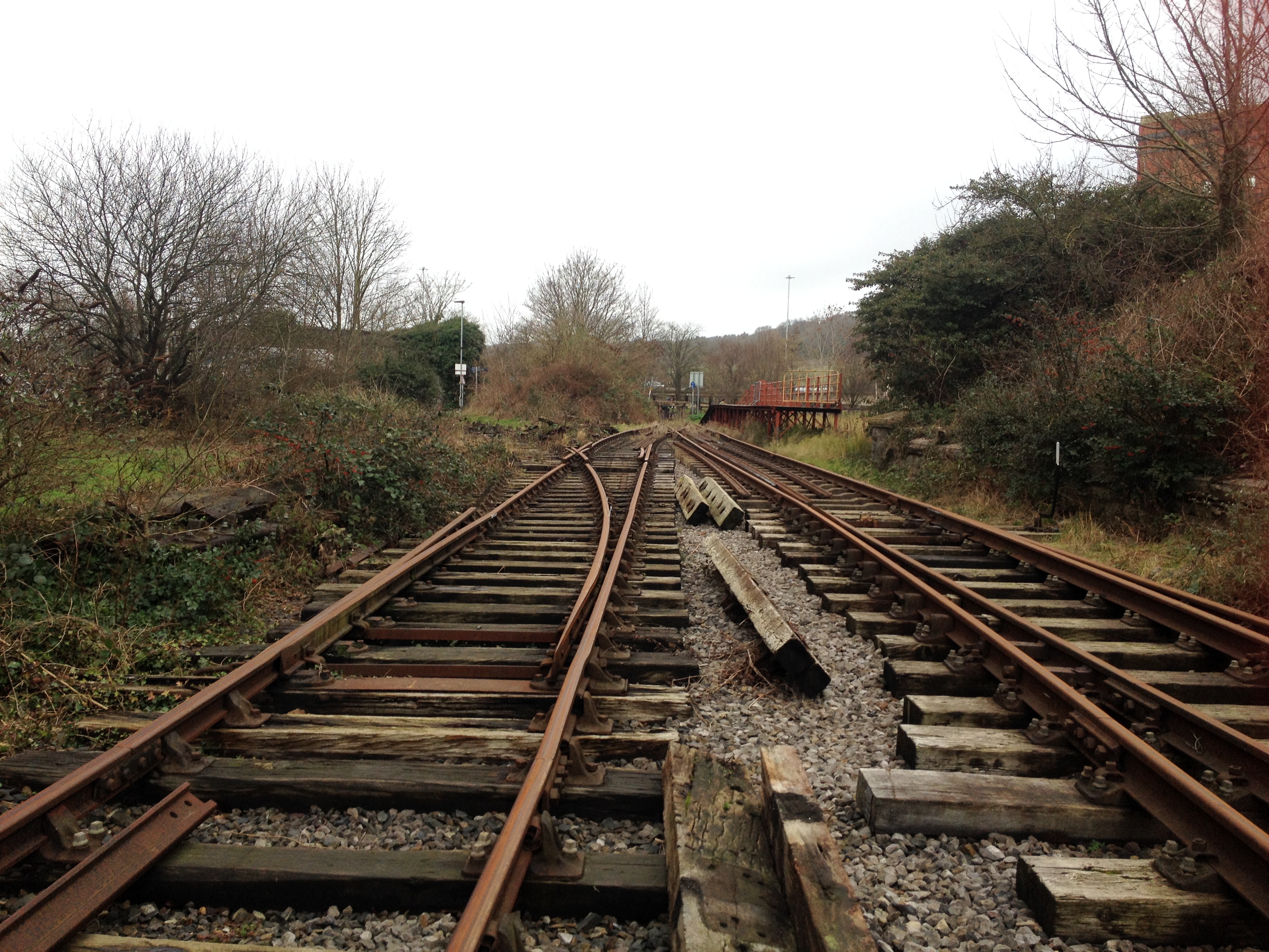
Meanwhile, round the bend, the pointwork salvaged from defunct lines is being relaid at the end of Cumberland Road.
The self-propelled crane was in the process of bringing rail down from the junction….
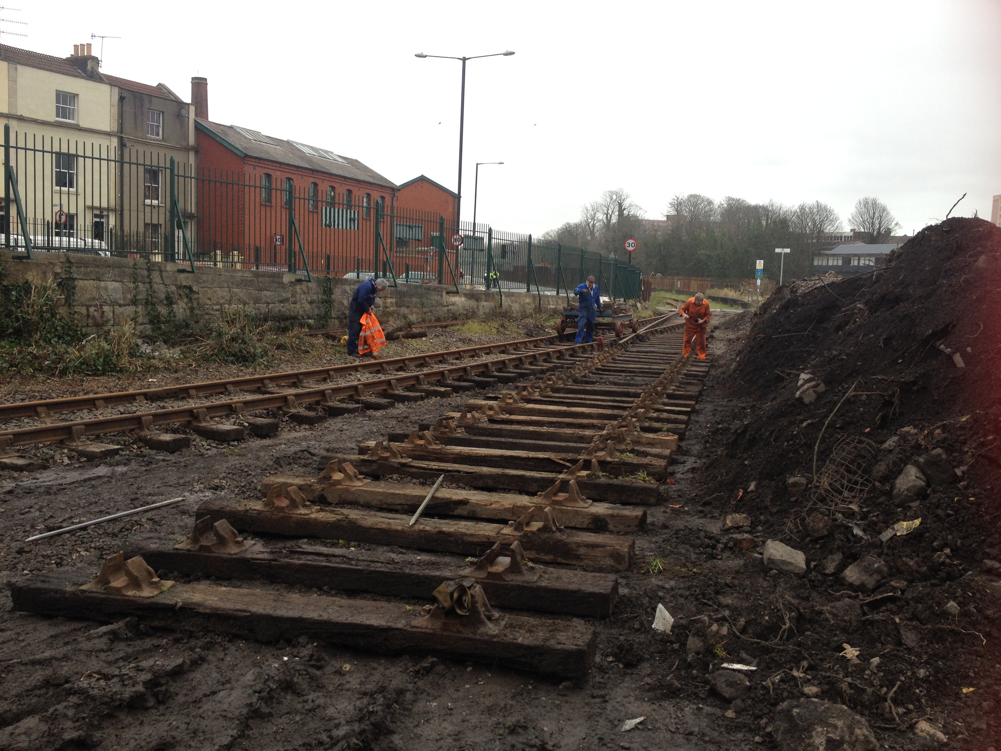
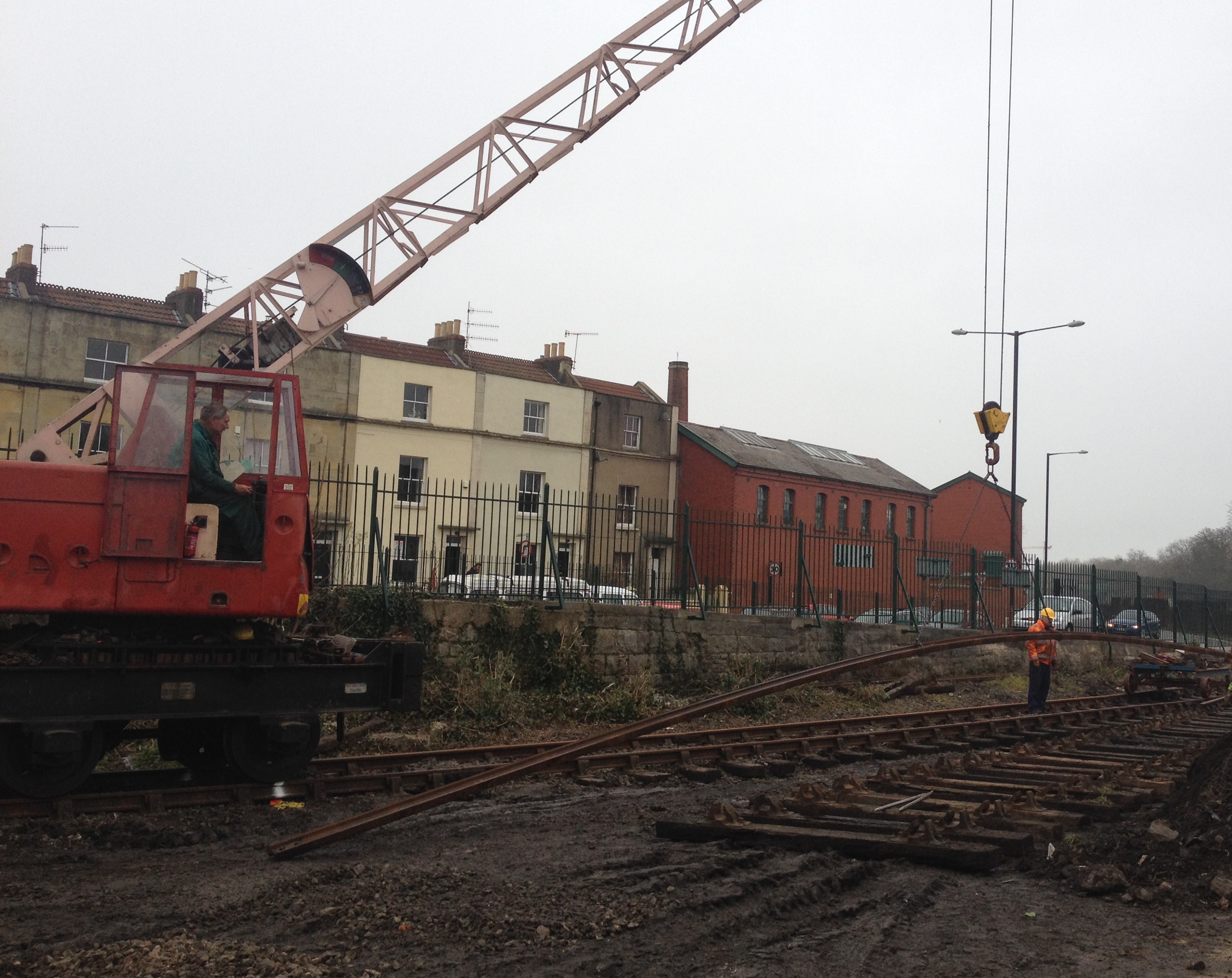
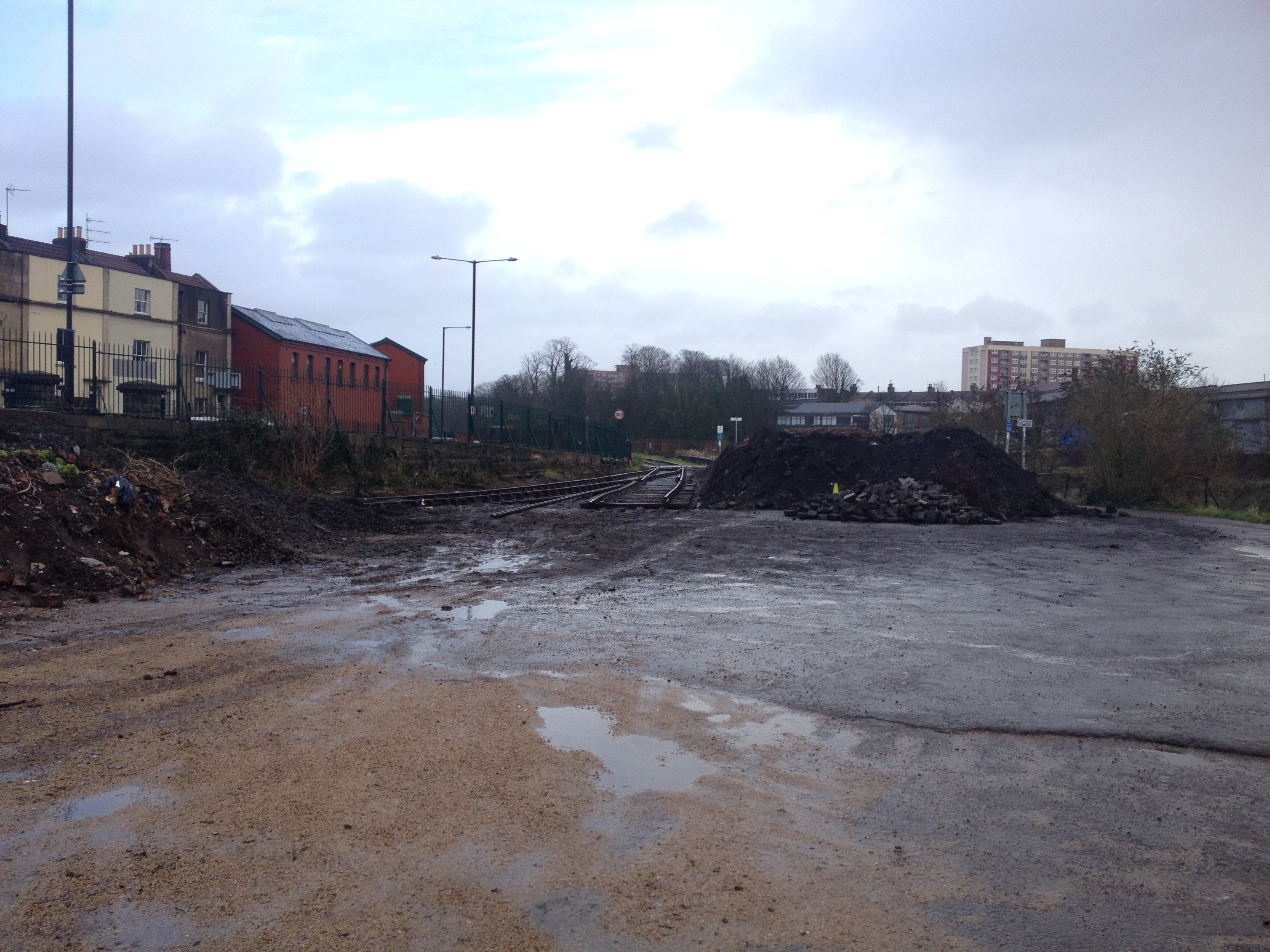
… allowing the track layout to take shape before rain stopped play for the day. The area in the foreground is planned to become the entrance to the rebuilt ‘barn’ building.
The recent flooding has not left the BHR untouched. This was the view on 1st February 2014. (Reproduced from the ITV website – http://www.itv.com/news/update/2014-02-01/parts-of-bristol-submerged-by-floodwater/ )


